Hwy.A Stone Weir
Save this feature with the run it belongs to.
Gauge Conditions
Runnable: 100.0 – 250.0 CFS
Too low for whitewater. May be floated, but will be 'grungy'.
Data from American Whitewater & USGS
Photo
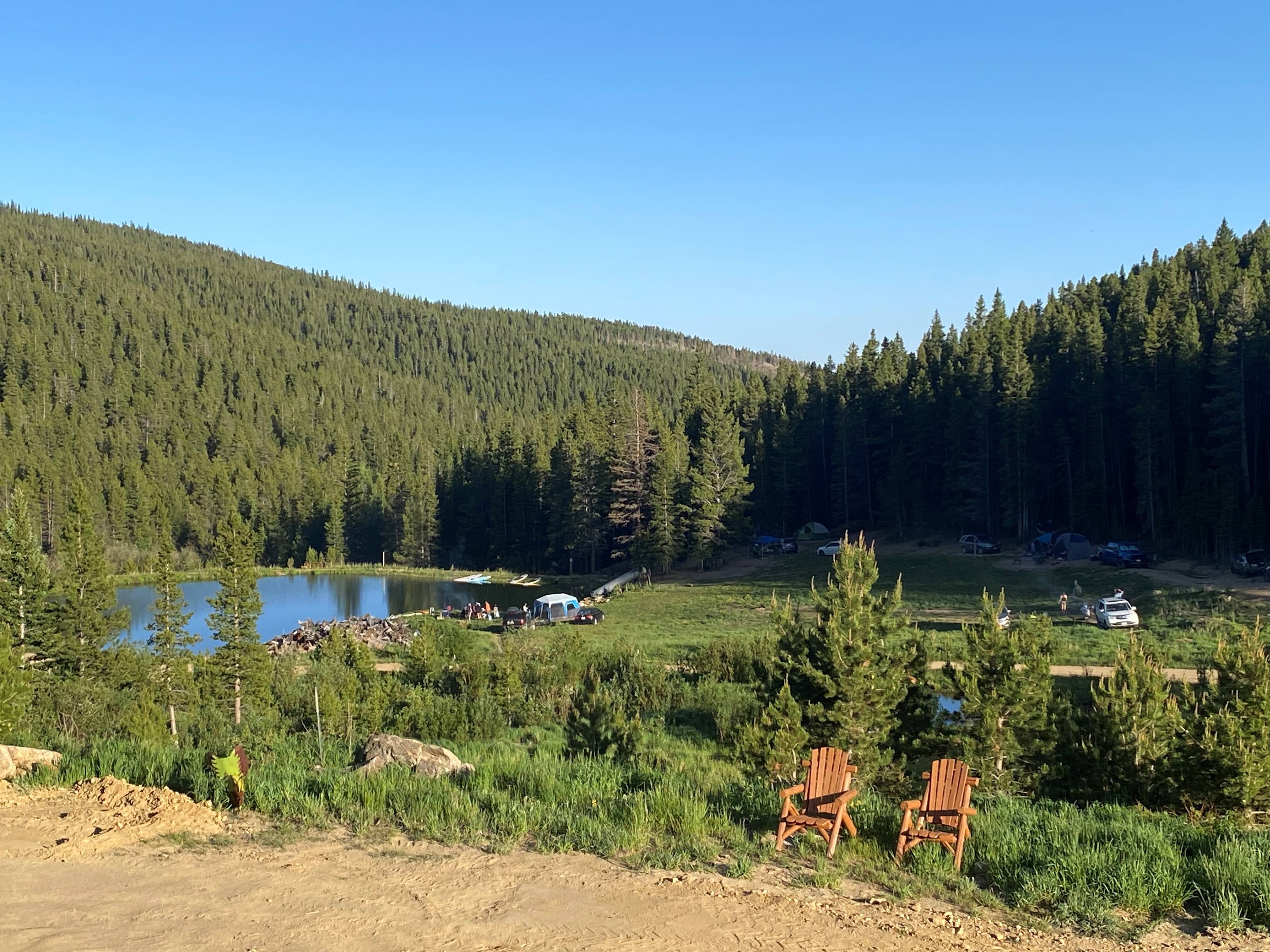
Photo courtesy of American Whitewater
Description
Under the highway bridge (CTH.A) it appears there has been some rock rearranging, building a little bit of a weir/dam. At some (intermediate) flows, this may create a very minor wave.
This location offers decent roadside parking, and (if you insist on trying to paddle the next stretch of this river) might make a better put-in. (This avoids the snagfest in the 1.3 miles from the east park bridge to this bridge. From here, you will still encounter many snags, but probably no worse than the mentioned 1.3 miles.)
Location
Interactive river map
Loads as you approach this section.
View Full Run
Petrifying Springs to Lathrop & CTH.A (up to 4.5 miles)
Pike (Kenosha Co.)
I(II)
4.0 mi
Current Conditions
5-Day Forecast
Whitewater data from
American Whitewater
American Whitewater