Put-in
WA
Hyas Creek Put In
Save this feature with the run it belongs to.
Gauge Conditions
Data from American Whitewater & USGS
Photo
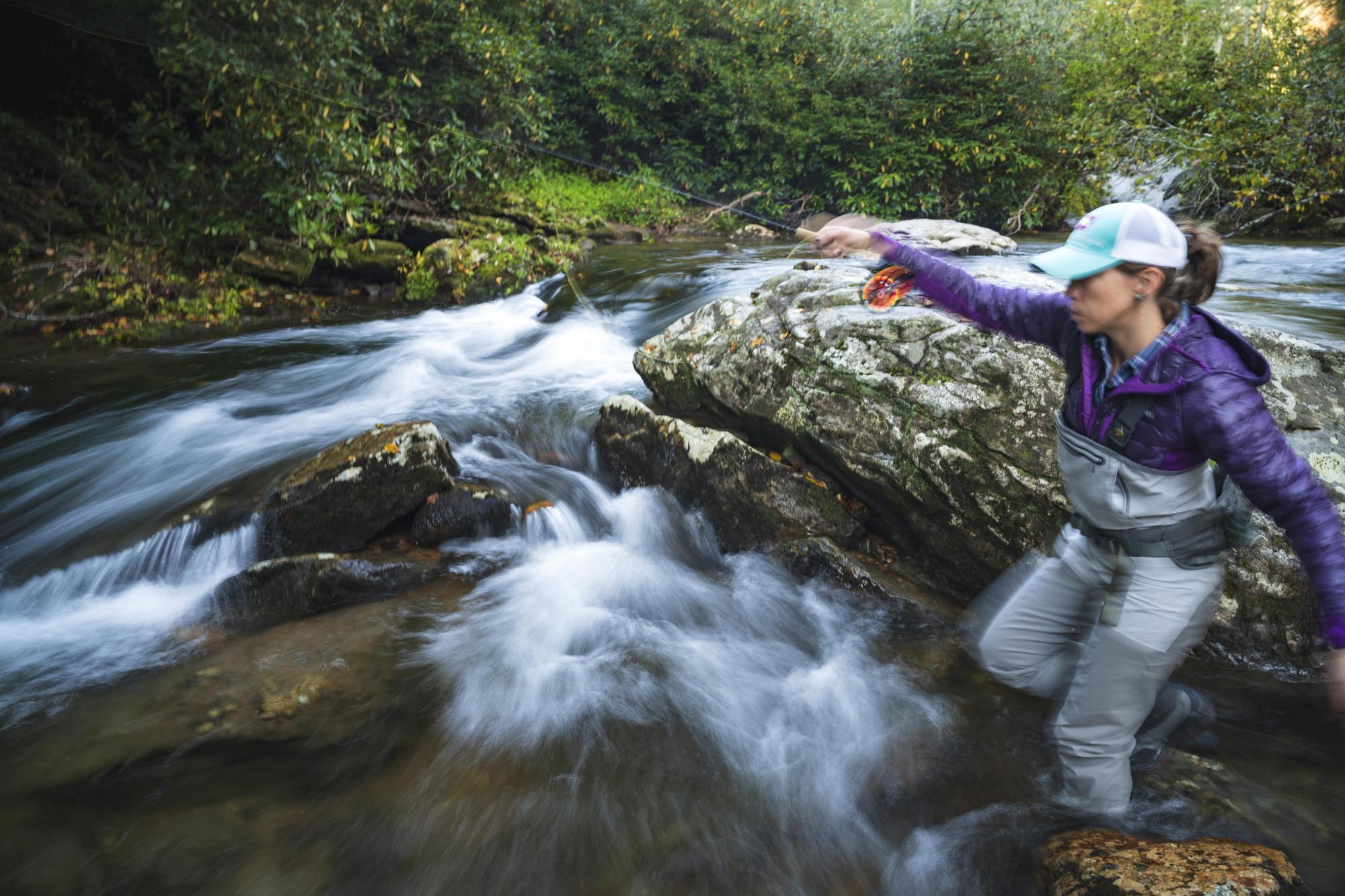
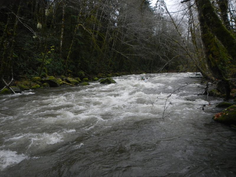
Photo courtesy of American Whitewater
Description
Access at a dispersed recreation site just downstream of Hyas Creek on land administered by the US Forest Service. To reach this site head about a mile north of Forks and at Highway 101 mile 193.3 turn east on to Forest Road 29. Follow this road to mile 8.0 where you will reach the Hyas Creek confluence. The access is at a dispersed site at a gravel bar with great river access just downstream of where Hyas Creek joins the Calawah. A short drive provides parking off the road.
Location
Interactive river map
Loads as you approach this section.
View Full Run
Hyas Creek to Bogachiel River
Calawah
II-III
18.8 mi
Current Conditions
5-Day Forecast
Whitewater data from
American Whitewater
American Whitewater