Rapid
AR
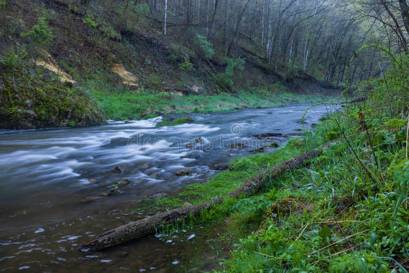
Indian Creek
Save this feature with the run it belongs to.
Gauge Conditions
Data from American Whitewater & USGS
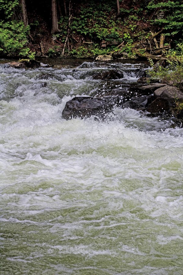
Photo
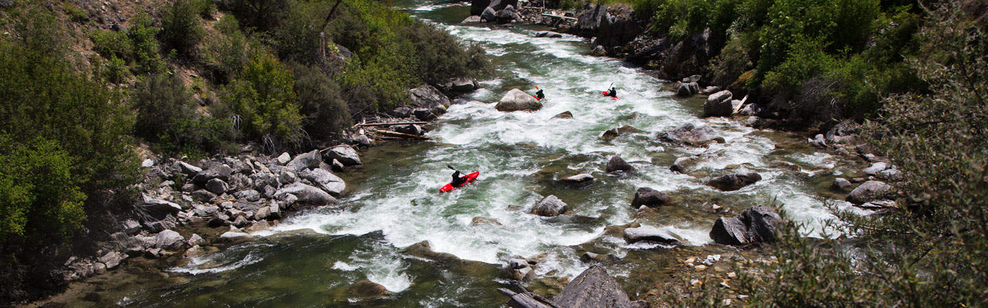
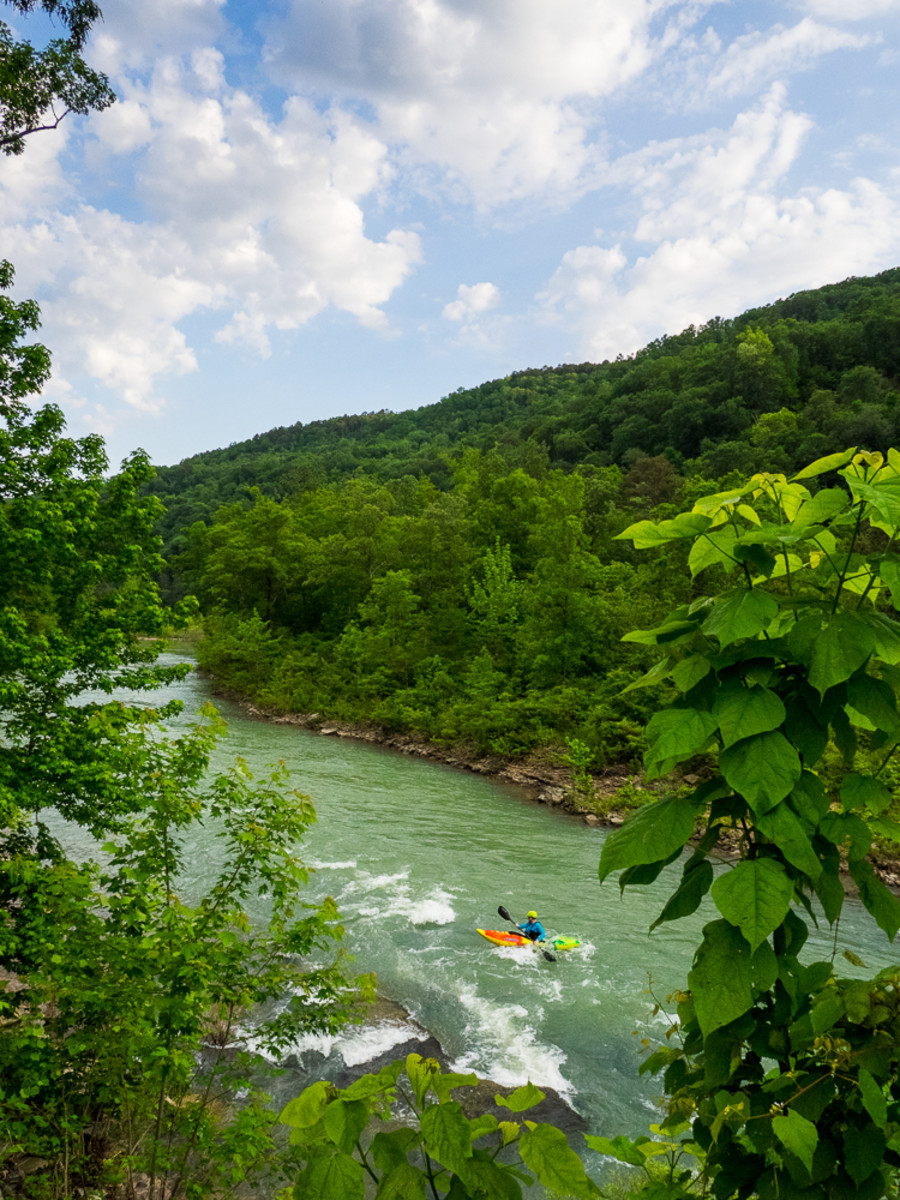
Photo courtesy of American Whitewater
Description
Optional put-in option is at the low-water bridge on the shuttle road. Indian Creek offers 2 miles of class II+. Some of which is willow jungles. If the level looks high enough to paddle, it is.
Location
Other Rapids on This Run (11)


View Full Run
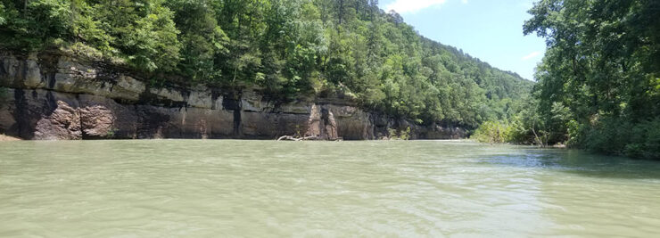
3) Helton's Farm (Treat) to Long Pool Campground (8.4 miles)
Big Piney Creek
II+(III)
8.3 mi
Current Conditions
5-Day Forecast
Whitewater data from
American Whitewater
American Whitewater