Rapid
ID
Indian Creek Launch and Guard Station (RL)
Save this feature with the run it belongs to.
Gauge Conditions
Runnable: 700.0 – 10,000.0 CFS
May be low for a raft.
Data from American Whitewater & USGS
Description
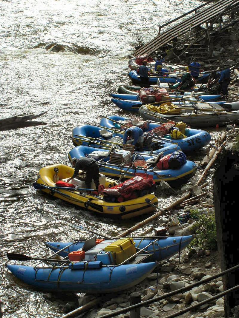
The airstrip and boat launch are often used by groups who put-in here at very high or very low flows. It is also common practice to boat a lightly-loaded raft from Boundary Launch to this access point where food and supplies can be flown in. The Forest Service has a Guard Station here that is often used to check in groups starting here. Camping is possible at a variety of spots.
Location
Interactive river map
Loads as you approach this section.
Other Rapids on This Run (20)
 Rapid
N/A
Rapid
N/A
Boundary Creek
Rapid
II
First Bend Rapid
 Rapid
IV
Rapid
IV
Murph's Hole Rapid
Rapid
N/A
Teepee Hole Camp (RL)
Rapid
N/A
Cable Hole Camp (RL)
 Rapid
II
Rapid
II
Pinball Rapid
Rapid
N/A
Gardell's Hole Camp (RR)
Rapid
III
Sulphur Slide Rapid
 Rapid
III
Rapid
III
Ramshorn Rapid
Rapid
III
Hells Half Mile Rapid
Rapid
IV
Velvet Falls
Rapid
N/A
Boy Scout Camp (RR)
Rapid
N/A
Big Bend Camp (RR)
Rapid
N/A
Trail Flat Camp (RL)
Rapid
II
Avalanche Atoll Rapid (aka Upper Chutes)
Rapid
III+
The Chutes Rapid
Rapid
N/A
Elkhorn Bar Camp (RR)
Rapid
N/A
Saddle Camp (RL)
Rapid
N/A
Boot Camp (RR)
Rapid
IV
Powerhouse Rapid
View Full Run
2 - Boundary Creek (Dagger Falls) to Salmon River (Cache Bar)
Salmon, Middle Fork
III-IV
95.0 mi
Current Conditions
5-Day Forecast
Whitewater data from
American Whitewater
American Whitewater