Iron Gate
Save this feature with the run it belongs to.
Gauge Conditions
Photo
Description
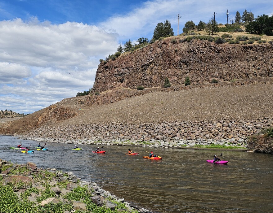
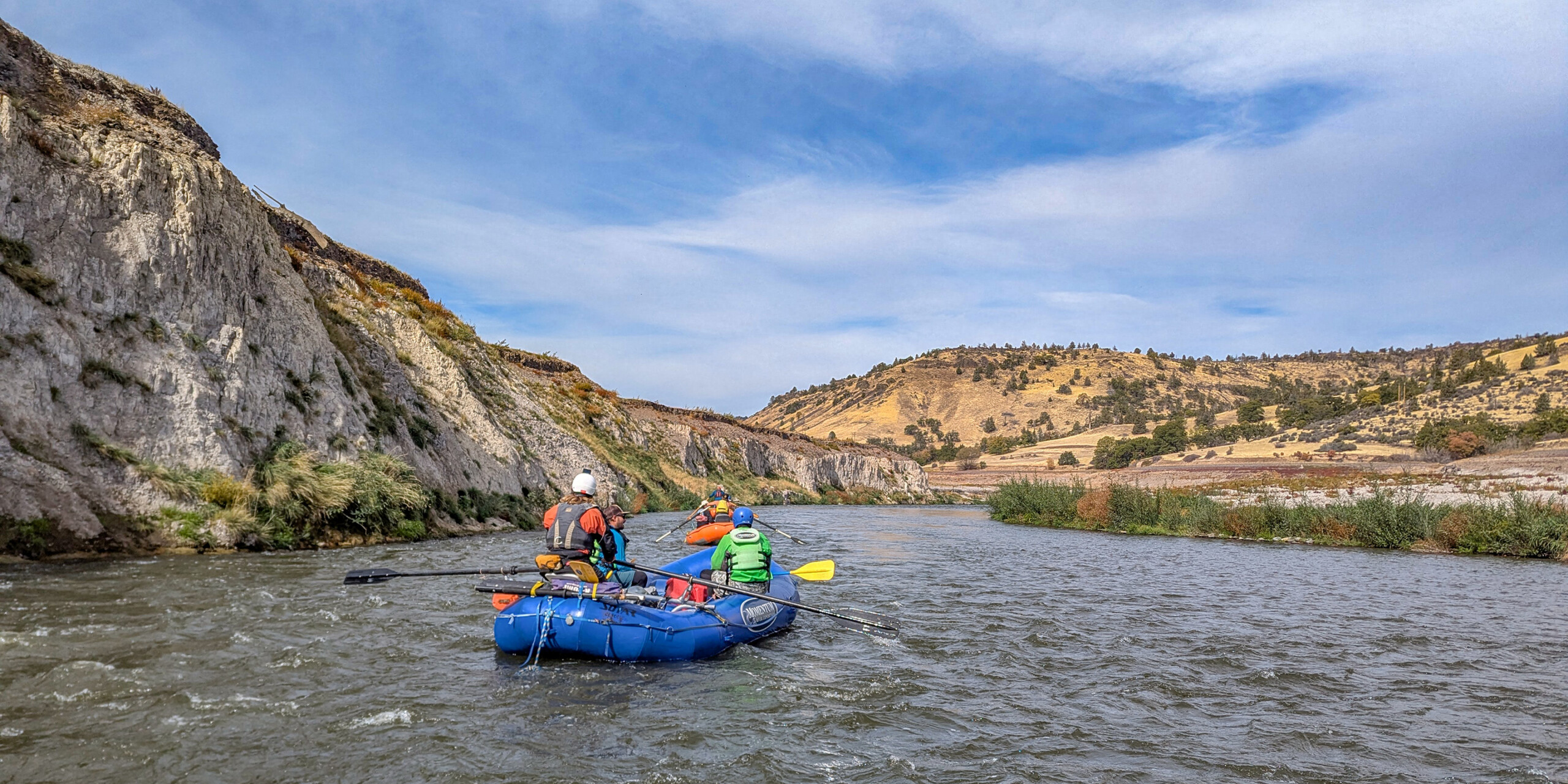
The river cuts a short, narrow canyon through red-colored Western Cascade lava flows of Tetiary age. These rocks are much older than those upstream in K’íka·c’é·ki Canyon. PacifiCorp built its 173-feet tall and 740-feet wide earthern Iron Gate Dam in this canyon. It was completed in 1964 and removed in 2024, its materials being placed back within the nearby quarries from which they came. The dam was built to regulate and smooth out the wild flow fluctuations caused by its upriver hydropower operations and provide a steady outflow so the river downstream didn't rise and fall with the power generation schedule, as it had since 1918 when Copco 1 Dam came online. The steady flow out of Iron Gate matched the flow of the river coming into the hydropower project (plus accretion from tributaries). The dam did not store a large volume of water.
Location


Current Conditions
5-Day Forecast
American Whitewater