Last Waterfall
Save this feature with the run it belongs to.
Gauge Conditions
Approximate - nearest available gauge. Use as general reference only.
Photo
Description
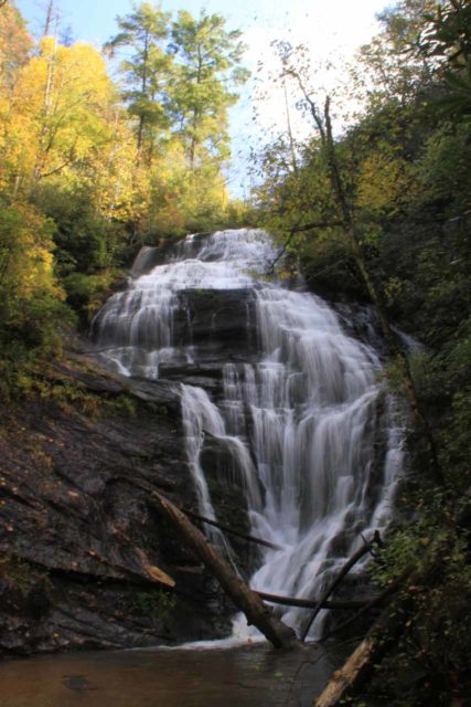
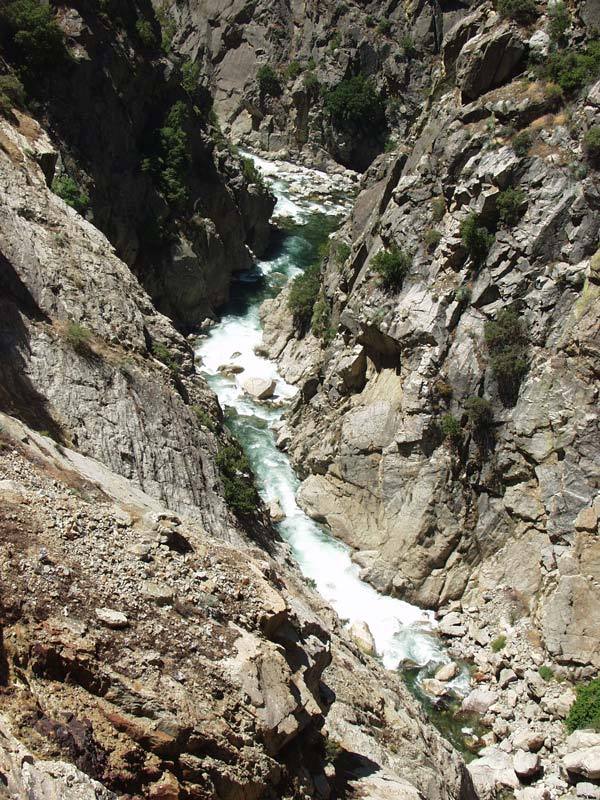
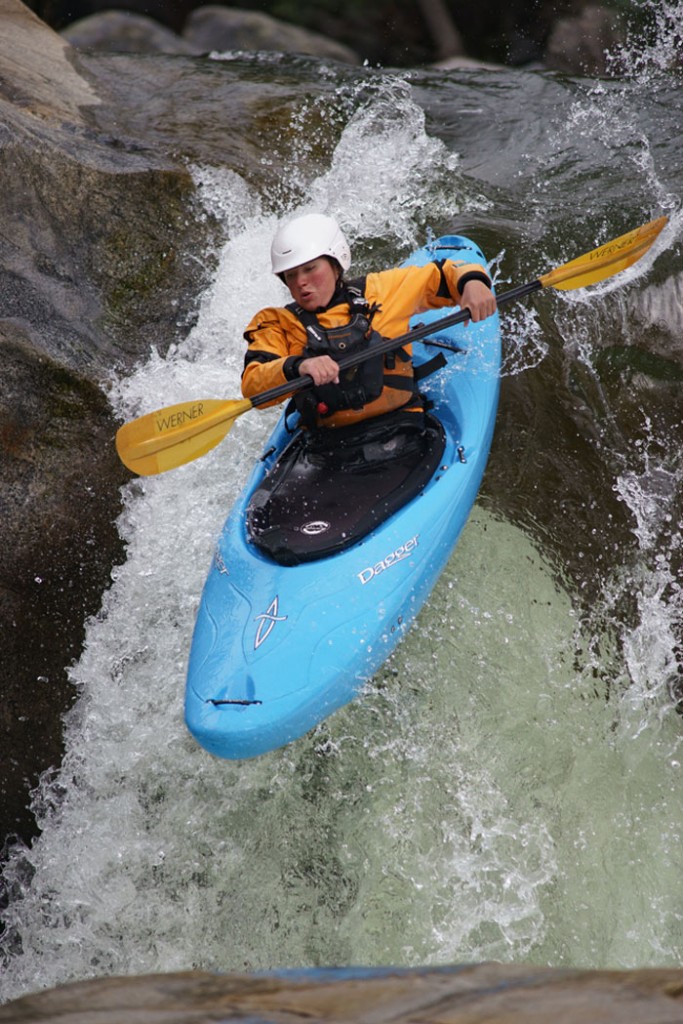
The river constricts to river right, then drops over a 15 +- foot waterfall. You can scout the falls on river right. We always ran it on the left edge and I seem to recall a boulder under the surface of the landing zone if you go over the middle.
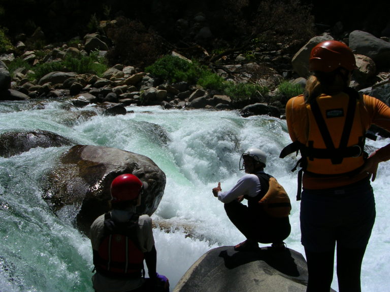
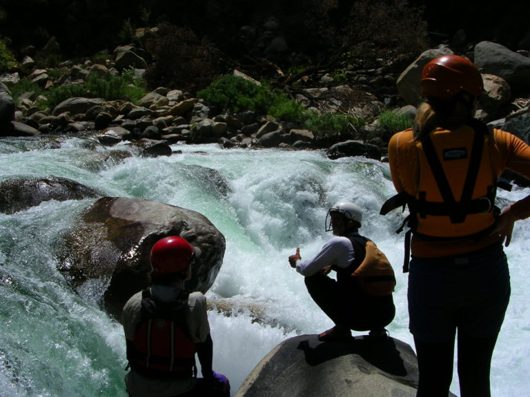
There is a short pool at the base, then the river drops into the biggest rapid in this section below Redwood Creek and the Convict Flat trail. This long rapid can only be scouted on river left and those who wish to scout or portage must work hard to get left before dropping into the rapid.
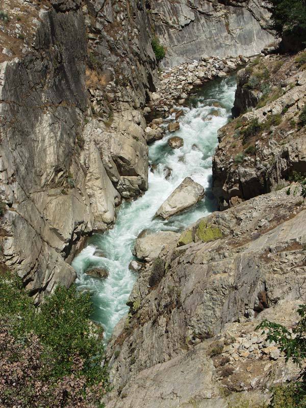
Below this rapid are one or two more pretty big rapids in a really spectacular gorge.
Location
Other Rapids on This Run (7)
Current Conditions
5-Day Forecast
American Whitewater