Rapid
WI
Leaving the lake complex
Save this feature with the run it belongs to.
Gauge Conditions
Runnable: ? – ? CFS
Approximate - nearest available gauge. Use as general reference only.
Data from American Whitewater & USGS
Photo
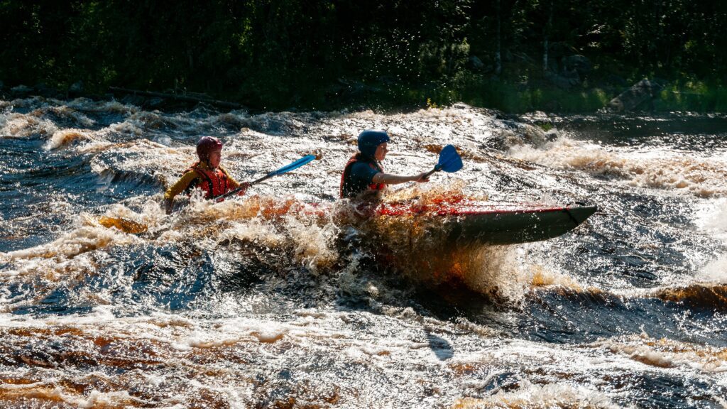
Photo courtesy of American Whitewater
Description
This section of the Turtle River transitions from the calm lake complex, offering paddlers a more dynamic stretch of water with potential swift current and potential navigational challenges. While specific features are not detailed, paddlers should be prepared for potential unmarked obstacles and varying water conditions typical of river transitions from lake environments.
Location
Interactive river map
Loads as you approach this section.
View Full Run
Shays Dam to CTH.FF (Turtle/Flambeau Flowage) (16.5 miles)
Turtle
I(III)
16.8 mi
Current Conditions
5-Day Forecast
Whitewater data from
American Whitewater
American Whitewater