Lower Minefield
Save this feature with the run it belongs to.
Gauge Conditions
Runnable: 8.2 – 12.2 FT
7.5 - 8.2 USGS = 4 inches or less on the stick at the Pocket.
Data from American Whitewater & USGS
Description
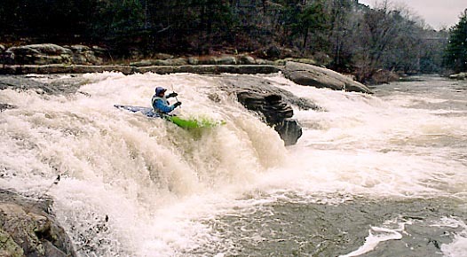
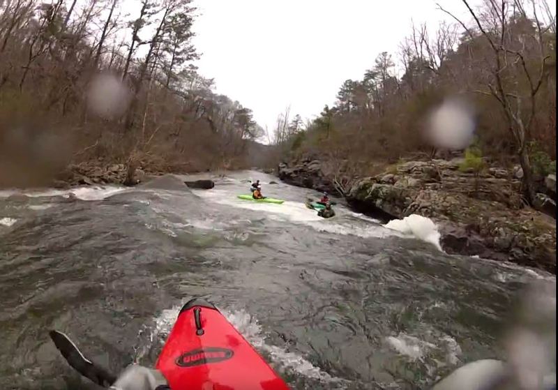
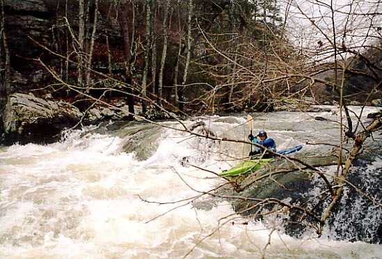
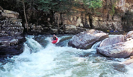
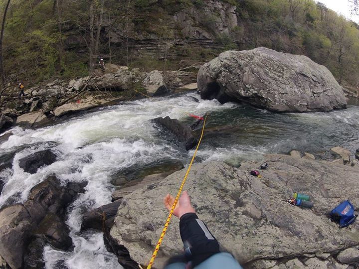
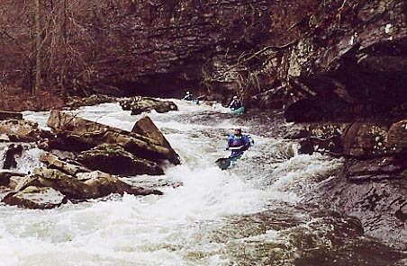
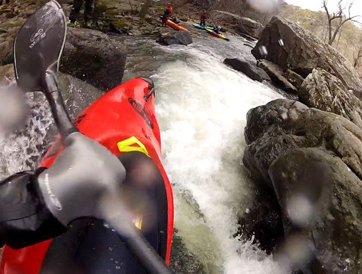
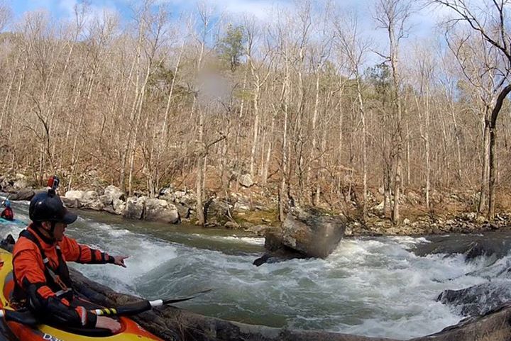
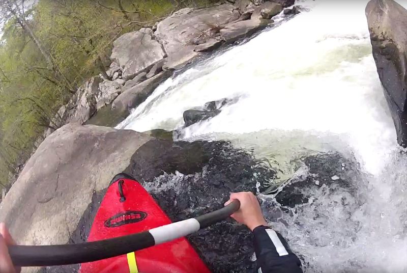
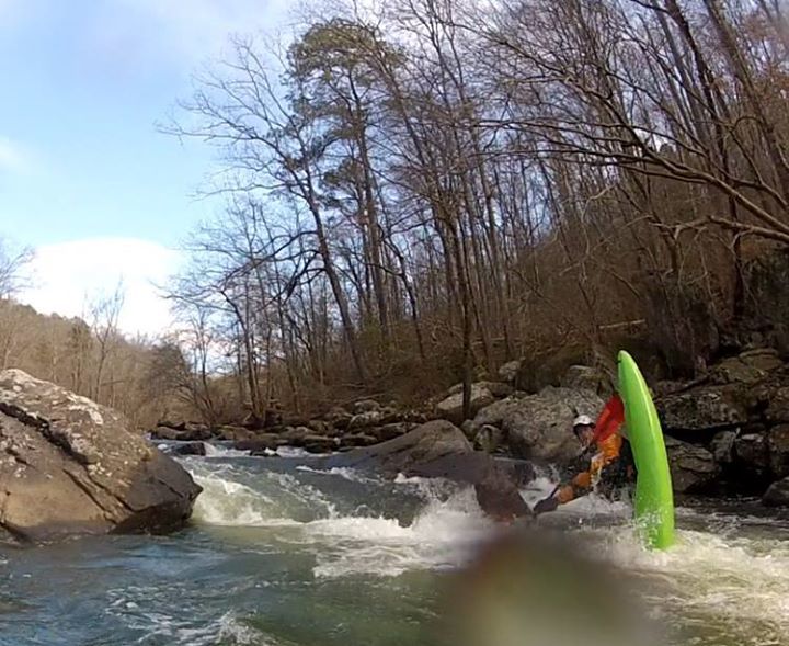
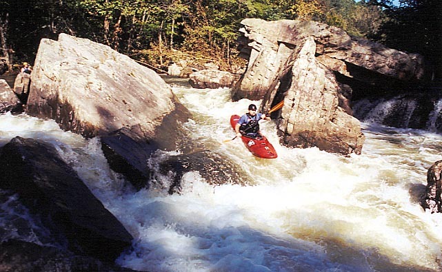
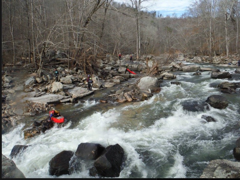
About 400 yards below Upper Minefield, you will come to another boulder strewn section of read and run fun. I'm not sure where Lower Minefield really starts or ends but after about 250 yards of fairly continuous rapids the action will mellow into a pool that is about 100 yards long, where the left bank is blocky and exposed. You should notice a few CFS disappearing into the ground here.
Location
Interactive river map
Loads as you approach this section.
Other Rapids on This Run (20)
 Waterfall
III
Waterfall
III
Matheny's Ledge/Put In Waterfall
Rapid
III
Initiation Slot
Rapid
III
Small Slide
 Hazard
III
Hazard
III
Tits
 Rapid
III+
Rapid
III+
Welcome to Sauty
Rapid
III
Pincushion
 Rapid
III+
Rapid
III+
Egg Scrambler
Rapid
N/A
Reedy Creek Confluence
 Hazard
IV
Hazard
IV
Jonah's Whale
Rapid
III
Secret Room Eddy
 Rapid
III+
Rapid
III+
Cliff Left
 Rapid
III+
Rapid
III+
Gates to Weenieville
 Rapid
IV
Rapid
IV
Drunken Horseman
Rapid
III
Whale Tail / Cheesy Boof
 Rapid
IV
Rapid
IV
Upper Minefield
 Hazard
IV
Hazard
IV
Rapid Below Lower Minefield
 Rapid
IV
Rapid
IV
The Slot
Rapid
IV
Bonecrusher Entrance
 Hazard
IV
Hazard
IV
Bonecrusher
 Hazard
III
Hazard
III
The Forest
View Full Run
Intersection of County Roads 43 and 56 to Bucks Pocket
South Sauty Creek
III-IV
6.4 mi
Current Conditions
5-Day Forecast
Whitewater data from
American Whitewater
American Whitewater