Rapid
MI
marked rapids (#2)
Save this feature with the run it belongs to.
Gauge Conditions
Runnable: 400.0 – 2,000.0 CFS
Likely too low for reasonable whitewater run. Best flows are uncertain. Help out your fellow boaters by posting a comment about preferred flows.
Data from American Whitewater & USGS
Description
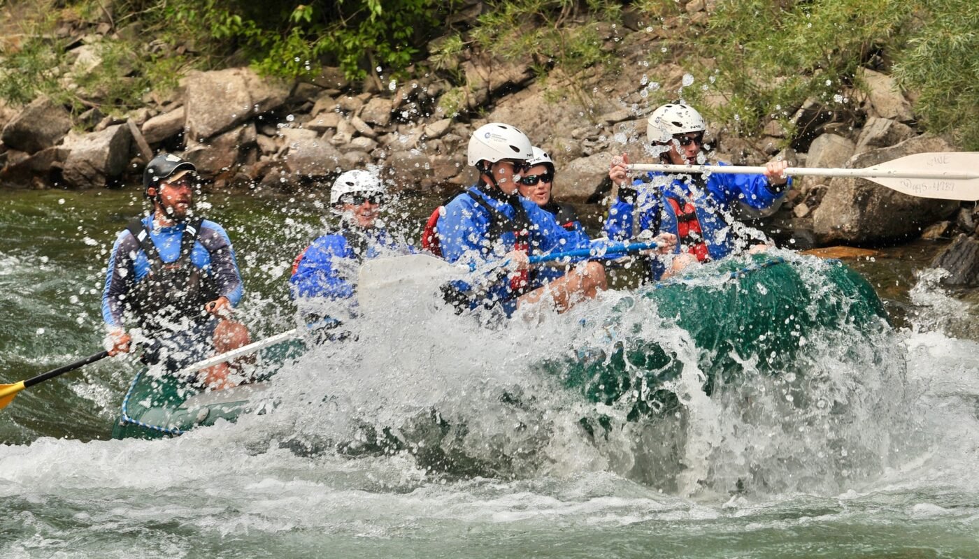
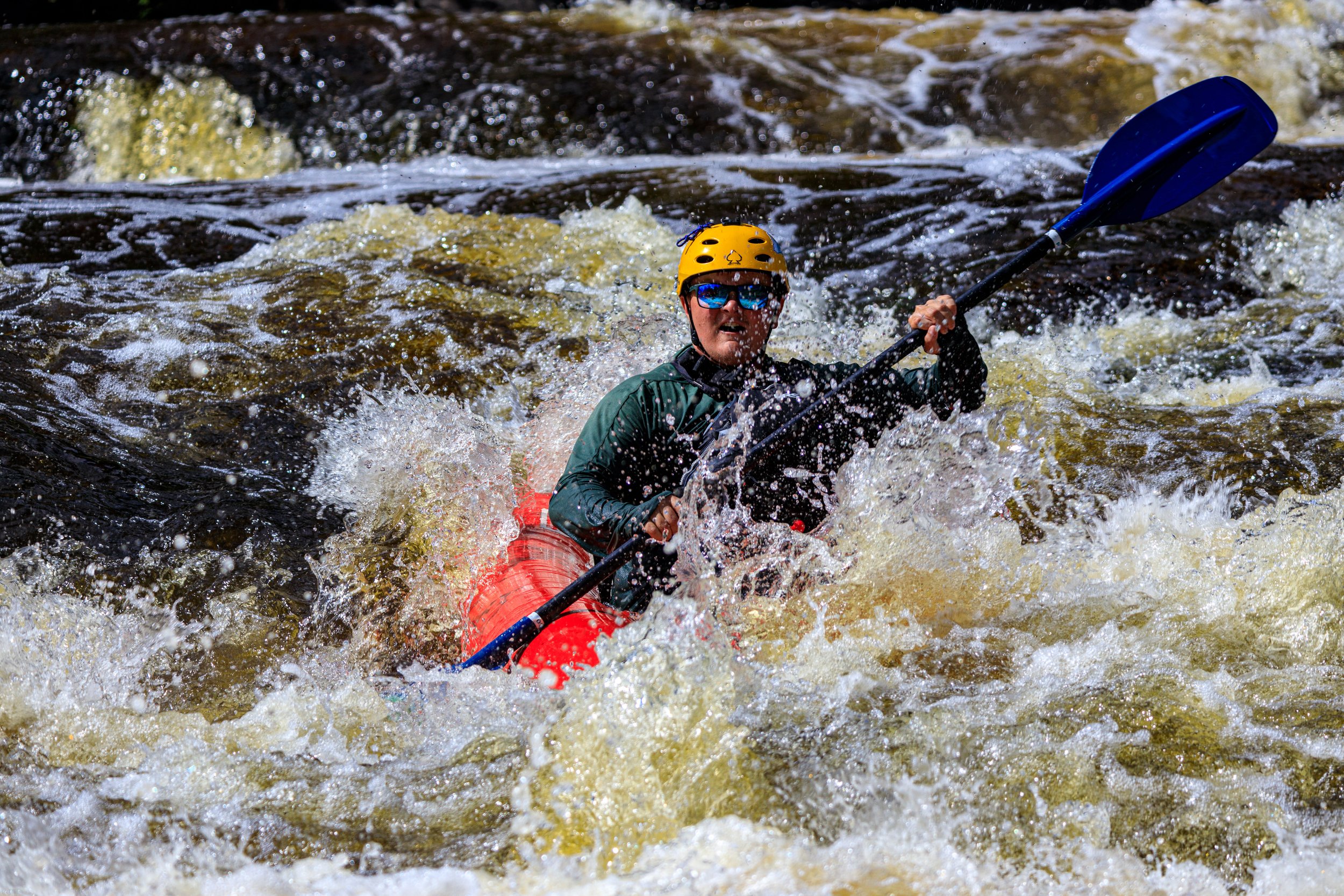
The river continues with lighter rapids, and (generally) broad sweeping turns. After a broad left turn, as the river turns more sharply right, encountering an island, the second 'marked' rapids occurs. Expect nearly a quarter-mile of increased action with waves and occasional holes. As action subsides a bit, the river takes a hair-pin turn to the right, encoutering an impressive vertical wall.
Location
Interactive river map
Loads as you approach this section.
View Full Run
E) Sturgeon Gorge: Sturgeon Falls to NF2270/FSR193 (4.87 miles)
Sturgeon (Baraga/Houghton)
II-III(V+)
4.7 mi
Current Conditions
5-Day Forecast
Whitewater data from
American Whitewater
American Whitewater