Rapid
MN
marked rapids
Save this feature with the run it belongs to.
Gauge Conditions
Runnable: 100.0 – 800.0 CFS
Likely too low for meaningful whitewater. Gauge is new. We need your input! Add a comment or report about boatable flows.
Data from American Whitewater & USGS
Description
(This is more than seven miles upstream of listed put-in. There does not appear to be good access to this location. There may be logging roads or other means (which are not 'known' to Google and not apparent on satellite view) that will get you here. They are being listed/shown here only for information for any more intrepid explorers.)
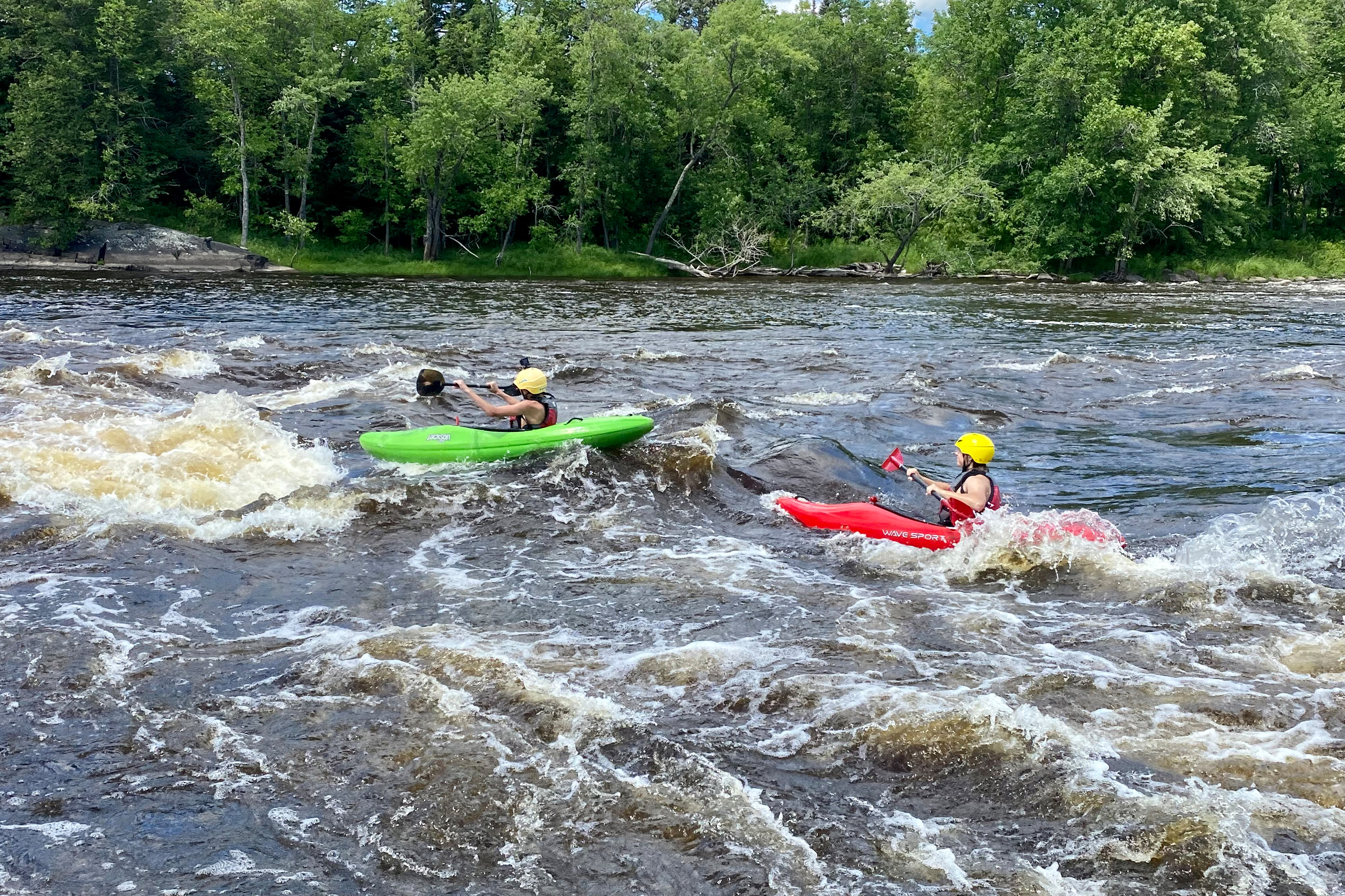
Coming west out of Seven Beaver Lake, the river turns sharply south along the railroad. The topo map shows a marked rapids here. Nothing is particularly obvious from satellite view other than that the river narrows significantly through here.
Location
Interactive river map
Loads as you approach this section.
Other Rapids on This Run (8)

View Full Run
A) Skibo Mill to FR110 (7.3 miles)
St. Louis
I-II
7.3 mi
Current Conditions
5-Day Forecast
Whitewater data from
American Whitewater
American Whitewater