Rapid
OR
McKee Bridge Access
Save this feature with the run it belongs to.
Gauge Conditions
Runnable: 300.0 – 2,500.0 CFS
Unreliable estimate of boating flow range. Use your own judgment.
Data from American Whitewater & USGS
Photo
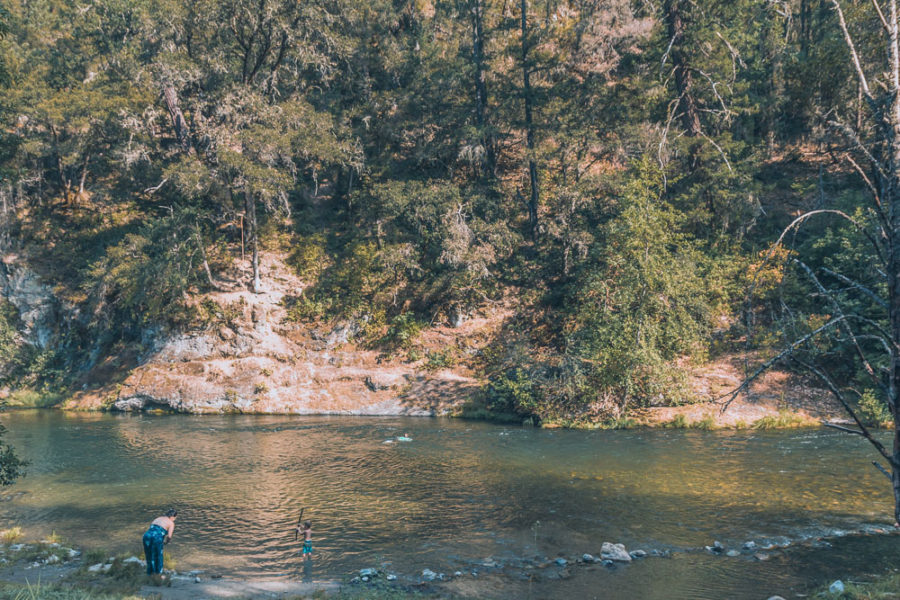
Photo courtesy of American Whitewater
Description
Access on river left downstream of the covered bridge at the McKee Bridge Picnic Area, a day use area administered by the Forest Service. This is a popular river hang-out in summer and has a high rope swing.
Location
Interactive river map
Loads as you approach this section.
View Full Run
Applegate Dam to Rogue River
Applegate River
II+
46.0 mi
Current Conditions
5-Day Forecast
Whitewater data from
American Whitewater
American Whitewater