Mesh Fence
Save this feature with the run it belongs to.
Gauge Conditions
Runnable: ? – ? CFS
Approximate - nearest available gauge. Use as general reference only.
Data from American Whitewater & USGS
Photo
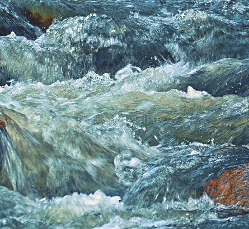
Photo courtesy of American Whitewater
Description
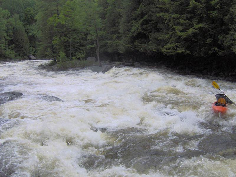
Spot an old concrete bridge abutment on the left bank to mark the start of Mesh Fence (the old fence is long gone). Scout from the left if you need to. Multiple options depending on the level, try what looks interesting. Clean it up on the second lap!
Location
Interactive river map
Loads as you approach this section.
Other Rapids on This Run (5)
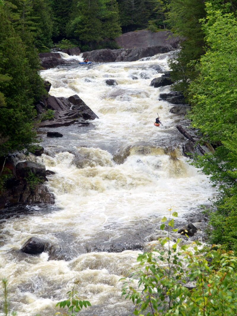
View Full Run
Blue Ridge Road to Palmer Pond
Branch, The (Schroon trib.)
IV-V
3.1 mi
Current Conditions
5-Day Forecast
Whitewater data from
American Whitewater
American Whitewater