Rapid
WA
Miller River Roadside Access
Save this feature with the run it belongs to.
Gauge Conditions
Runnable: ? – ? CFS
Approximate - nearest available gauge. Use as general reference only.
Data from American Whitewater & USGS
Description
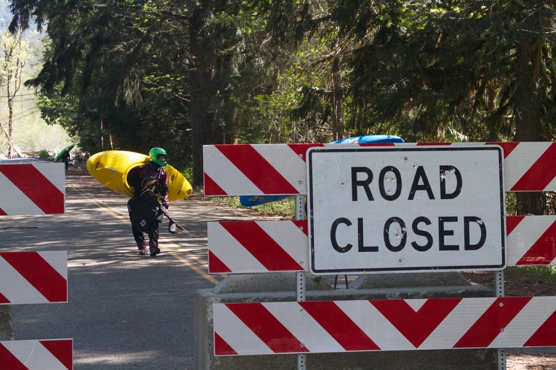
At Highway 2 mile 45.9, turn onto the NE Old Cascade Highway (look for the sign for Money Creek Campground). Follow this road 1.1 miles, then turn right onto Miller River Road (FR 6410). Continue 0.7 mile to a segment of road that runs along the river. This is a potential take-out and also a good place to assess flows. Downstream of this point the gradient tapers off and King County has indentifed the reach from here down to the confluence as a priority site for floodplain restoration.
Location
Interactive river map
Loads as you approach this section.
View Full Run
East Fork to NE Old Cascade Highway
Miller
IV
4.7 mi
Current Conditions
5-Day Forecast
Whitewater data from
American Whitewater
American Whitewater