Put-in
WA
Mineral Park East Campground Put In
Save this feature with the run it belongs to.
Gauge Conditions
Data from American Whitewater & USGS
Photo
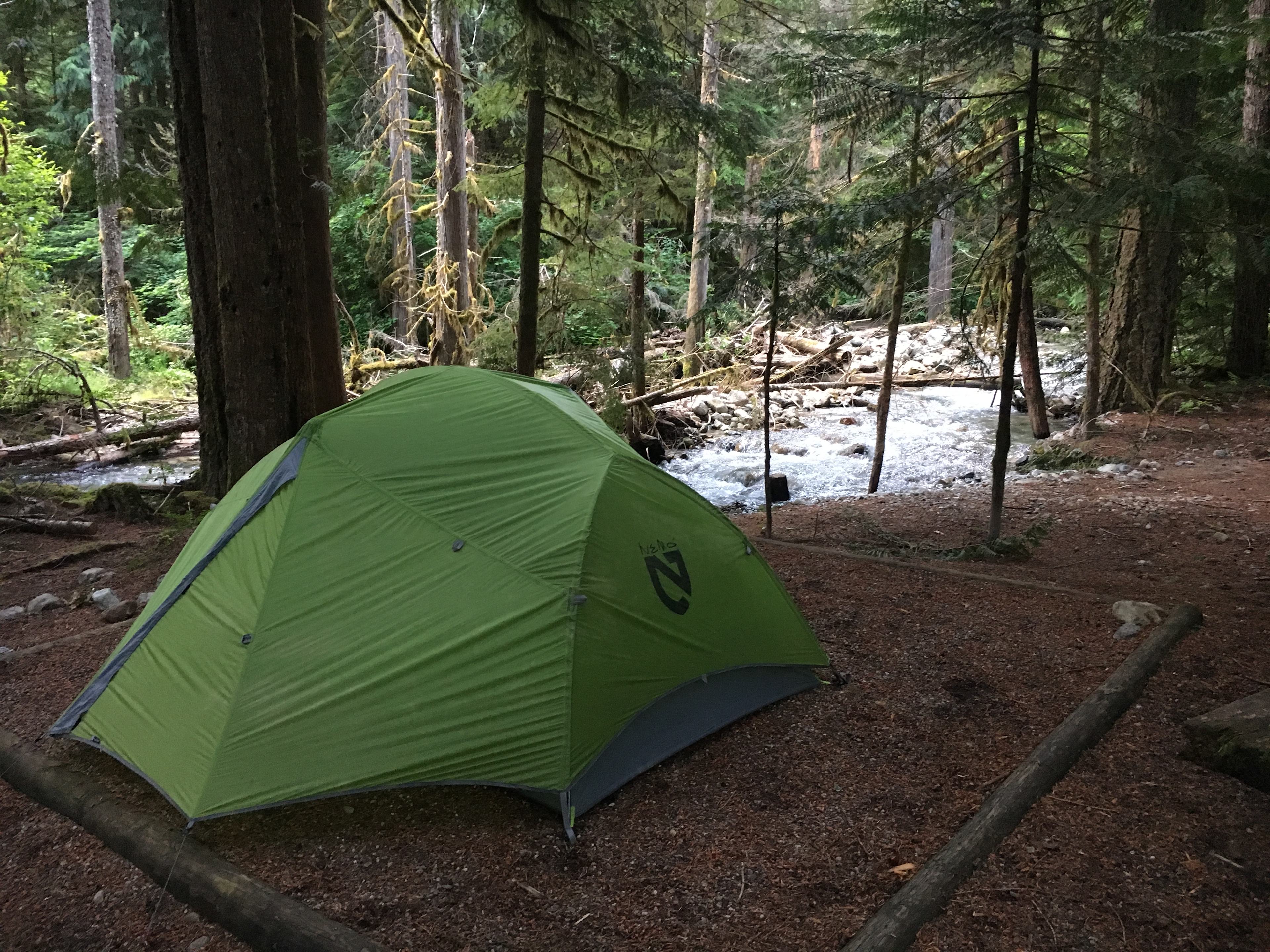
Photo courtesy of American Whitewater
Description
Mineral Park East Campground is where the North Fork and South Fork of the Cascade River join at Cascade River Road mile 15.7. River access is available between sites 6 and 8 where site 7 would be located. This site has been converted to day use and a trail leads about 50 yarsds along the North Fork of the Cascade River to the confluence. The river has a smaller channel at this point and is know for extensive log jams and associated wood hazards. Proceed with extreme caution if exploring this stretch.
Location
Interactive river map
Loads as you approach this section.
Other Rapids on This Run (3)
View Full Run
1 - bl. Mineral Park to Marble Creek Campground (Upper)
Cascade
II
10.0 mi
Current Conditions
5-Day Forecast
Whitewater data from
American Whitewater
American Whitewater