Take-out
CA
Navarro Beach
Save this feature with the run it belongs to.
Gauge Conditions
Data from American Whitewater & USGS
CDEC Flow Data California
Data from California Data Exchange Center (CDEC)
Photo
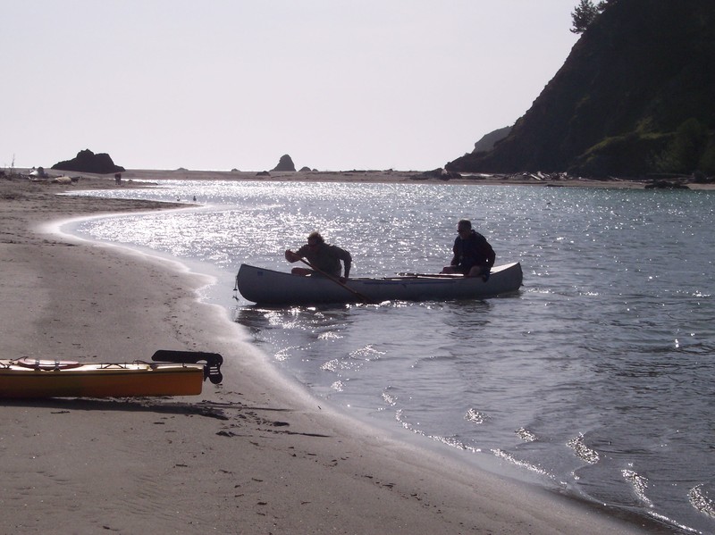
Photo courtesy of American Whitewater
Description
Paddle under the Highway 1 bridge and on out into the Navarro Lagoon. The beach is almost a mile past the bridge at the mouth of the river. At moderate flows a large sand bar will usually separate the river from the ocean. When you see the parking area, take out on the beach and carry across the sand to the parking lot.
Location
Interactive river map
Loads as you approach this section.
Other Rapids on This Run (2)
View Full Run
Hendy Woods State Park to Navarro Beach
Navarro
I-II
25.6 mi
Current Conditions
5-Day Forecast
Whitewater data from
American Whitewater
American Whitewater