Take-out
CO
NF Gunnison Confluence
Save this feature with the run it belongs to.
Gauge Conditions
Data from American Whitewater & USGS
Photo
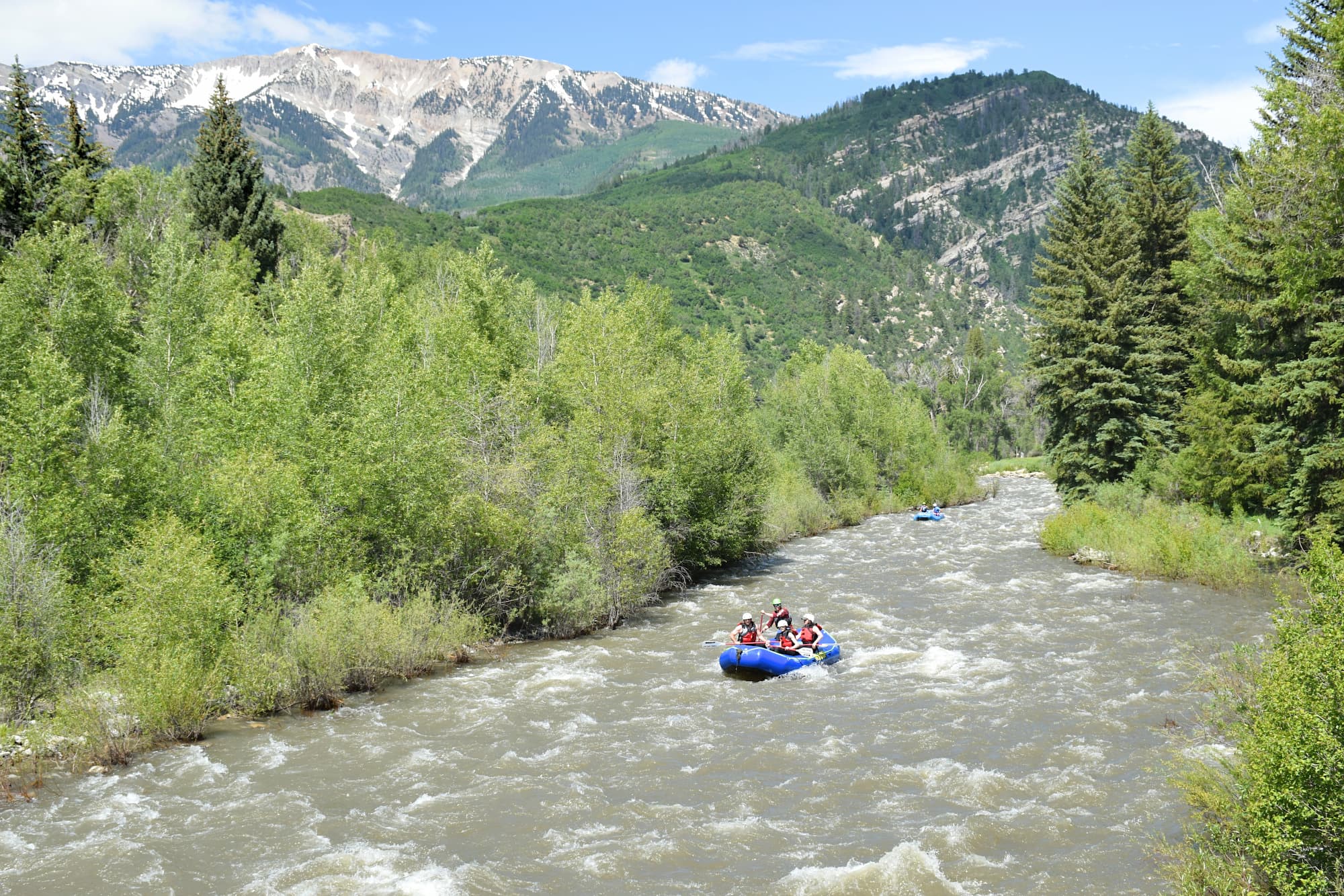
Photo courtesy of American Whitewater
Description
The NF Gunnison Confluence rapid marks the confluence of Anthracite Creek and the North Fork Gunnison River, creating a potentially complex hydraulic environment where currents merge and create unpredictable water dynamics. While specific details about difficulty are unclear from available information, paddlers should approach this confluence with caution, carefully scouting water levels and potential obstacles where the two waterways meet.
Location
Interactive river map
Loads as you approach this section.
Other Rapids on This Run (1)
View Full Run
02. Erickson Springs Campground to NF Gunnison
Anthracite Creek
III
6.1 mi
Current Conditions
5-Day Forecast
Whitewater data from
American Whitewater
American Whitewater