No Place To Swim
Save this feature with the run it belongs to.
No sufficiently local live gauge linked. 1 automated match was excluded because locality could not be verified. Use the parent run and local sources before making a trip decision.
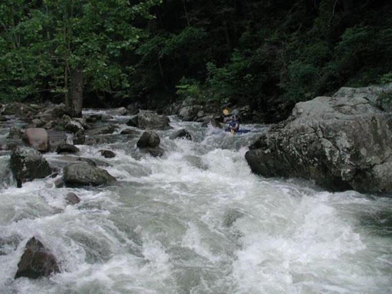
Photo
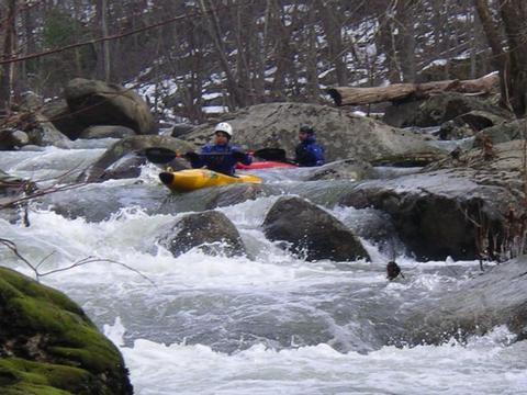
Photo courtesy of American Whitewater
Description
This is a long and busy rapid that can be entered center left. Go over a couple drops and look for midway eddy on the left. From either eddy you can set up for a two part ledge drop. The second pourover requires a committed boof into either the left or right eddies. At higher water, the rest of the rapid can be run down the right or right to left. At lower water, however, it seems best to start left through the final boulder drop to avoid pinning rocks.
Location
Interactive river map
Loads as you approach this section.

View Full Run
Boyds Mill (Intersection of VA 622 & VA 649 [Browntown Rd.]) to Karo Landing (Route 340)
Gooney Run
III-IV+
3.9 mi
Hazard — Exercise extreme caution in this area.
Current Conditions
5-Day Forecast
Whitewater data from
American Whitewater
American Whitewater