North Country Boof
Save this feature with the run it belongs to.
Gauge Conditions
Runnable: 600.0 – 3,000.0 CFS
The USGS gauge on the Oswegatchie in Harrisville provides an "approximation". The benchmarks below have many variables, so make sure you assess each drop yours
Data from American Whitewater & USGS
Photo
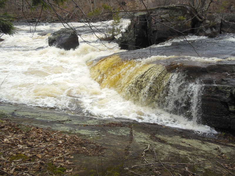
Photo courtesy of American Whitewater
Description
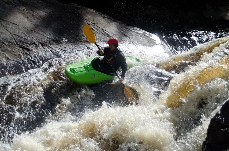
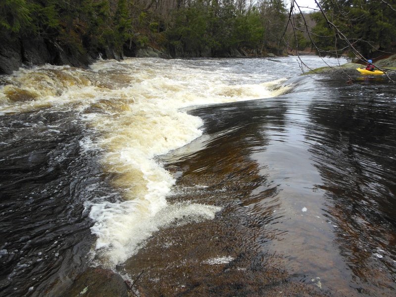
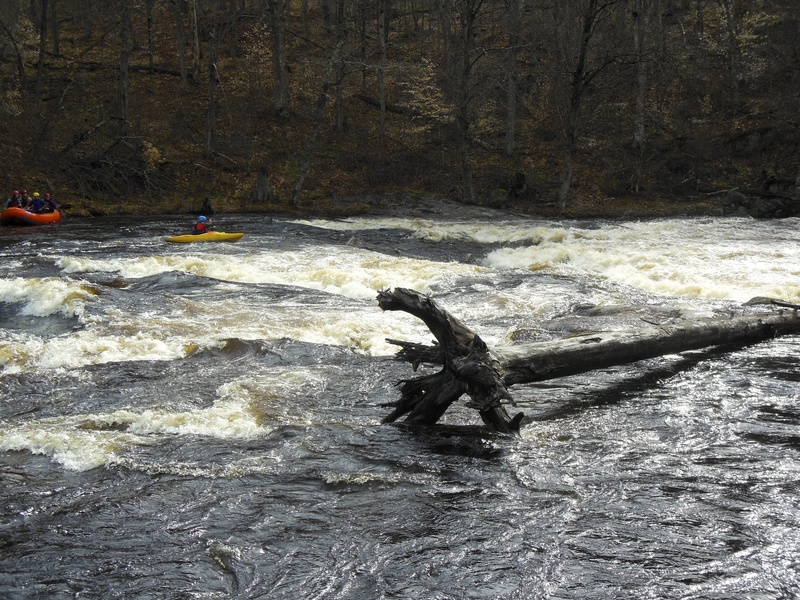
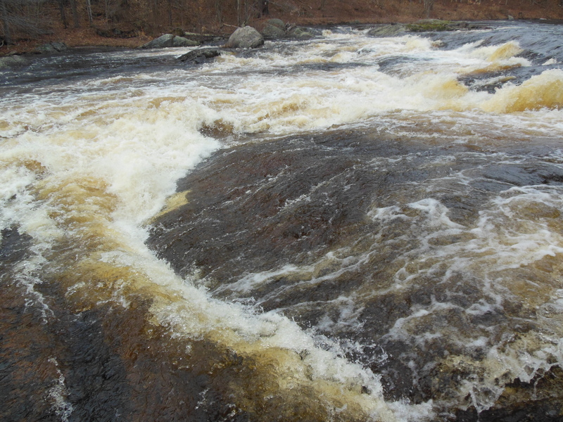
This is the final large drop. The river again splits with a large amount of water flowing right. The right side becomes difficult to run at high water, for this side scout right. The left channel has nice 7 foot waterfall, scouting for this is best left, as well as portaging. The rock on the river next to the falls (seen in picture) is a sive, this can be seen especially at low water.
Location
Interactive river map
Loads as you approach this section.
View Full Run
1. Lampsons Falls to Downerville
Grass
IV+
4.1 mi
Current Conditions
5-Day Forecast
Whitewater data from
American Whitewater
American Whitewater