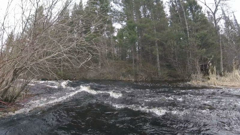
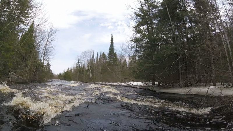
Old Dam Rapids
Save this feature with the run it belongs to.
Gauge Conditions
Likely too low for enjoyable whitewater trip. If rock just downriver from hwy 55 bridge has more than 2" showing above water flow is not adequate
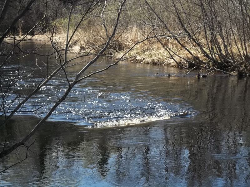
Photo
Description
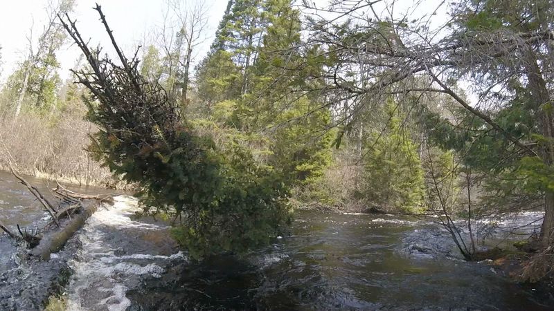
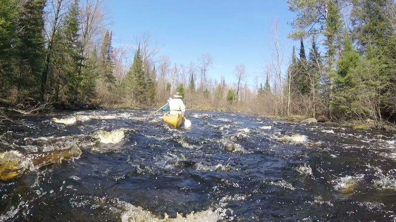
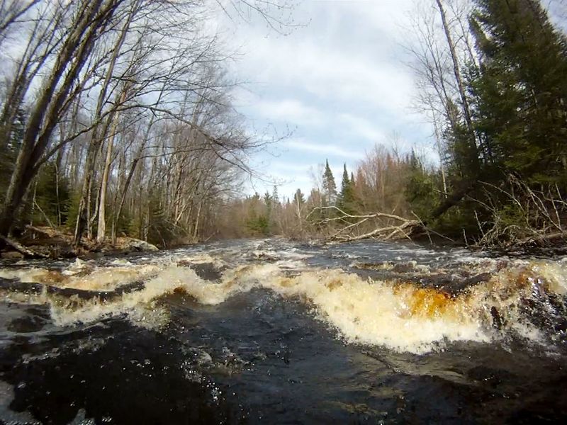
This rapids deserves scouting. The main, left channel is seldom, if ever, run. It can look deceptively inviting from above but has hazardous, submerged metal spikes projecting upwards from underwater remnants of the dam. Also, the left channel is often blocked or restricted by lodged trees that may not be visible from above the rapids. The regular route is to run the right-channel. It The right channel is very tight, starts with as a deceptive swift that turns left, out-of-sight, then builds to a stronger current towards a thread-the-needle line of boulders near the end of the channel (See “Thread-the-Needle photo at top of this page). Scouting (by bush-whacking through the river-right marsh) is to confirm that no strainer exists and to visualize the set-up for your one-shot run around the bend and through the boulders. After the drop around the Old Dam rapids a couple of class 2 rapids are back-to-back, just around the corner.
Location
Other Rapids on This Run (12)
 Rapid
N/A
Rapid
N/A
 Hazard
I
Hazard
I
 Rapid
II
Rapid
II
 Rapid
II
Rapid
II
 Rapid
II
Rapid
II
 Hazard
I
Hazard
I
Current Conditions
5-Day Forecast
American Whitewater