Take-out
CA
Oregon Bar, take out
Save this feature with the run it belongs to.
CDEC Flow Data California
Data from California Data Exchange Center (CDEC)
Photo
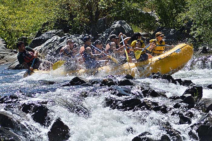
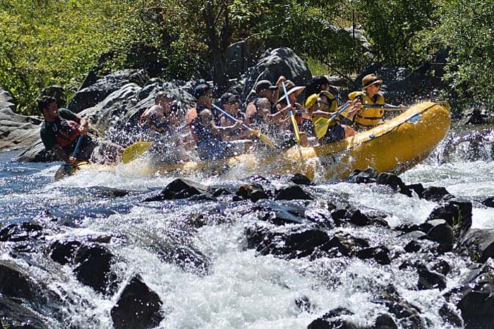
Photo courtesy of American Whitewater
Description
The Oregon Hill Access on river right allows you to enjoy a few more small rapids. However, the takeout here is not boater-friendly. To access it, you'll need to park over half a mile away and about 500 feet uphill. From there, you'll carry your boat 100 yards uphill to the loading zone, then walk another 0.7 miles to your car. Afterward, you'll need to drive back down to retrieve your boat.
Location
Interactive river map
Loads as you approach this section.
View Full Run
5. Confluence with Middle Fork to Folsom Lake
American, North Fork
II(III)
9.5 mi
Current Conditions
5-Day Forecast
Whitewater data from
American Whitewater
American Whitewater