Take-out
MT
Paola River Access
Save this feature with the run it belongs to.
Gauge Conditions
Data from American Whitewater & USGS
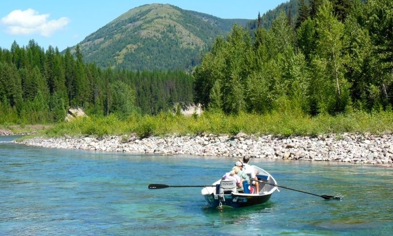
Photo

Photo courtesy of American Whitewater
Description
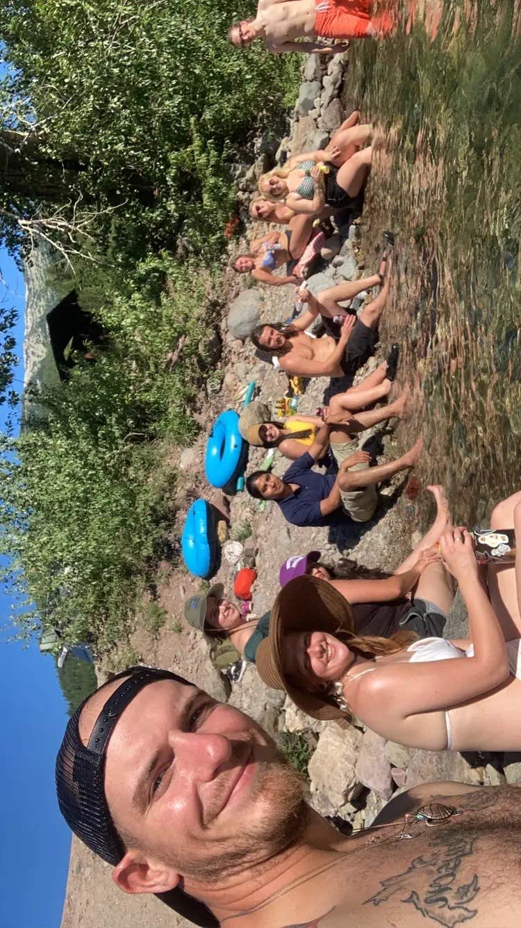
The take-out at Paola Creek lies on river left near where the creek joins the Middle Fork. The access is simple with basic amenities and set against a forested shoreline along Highway 2.
Location
Interactive river map
Loads as you approach this section.


View Full Run
2. Bear Creek to Paola Access
Flathead, Middle Fork
II-III
12.0 mi
Current Conditions
5-Day Forecast
Whitewater data from
American Whitewater
American Whitewater