Phil's Cascade
Save this feature with the run it belongs to.
Gauge Conditions
Runnable: ? – ? CFS
Approximate - nearest available gauge. Use as general reference only.
Data from American Whitewater & USGS
Photo
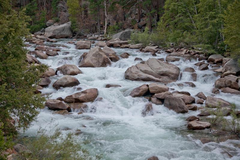
Photo courtesy of American Whitewater
Description
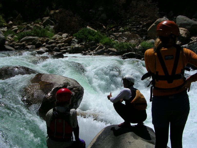
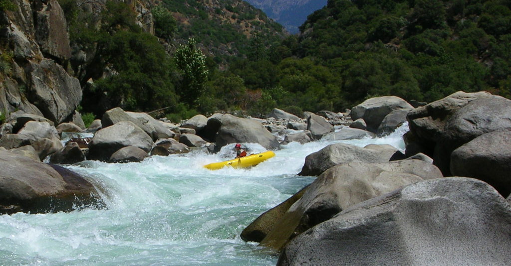
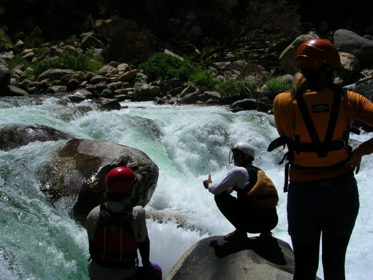
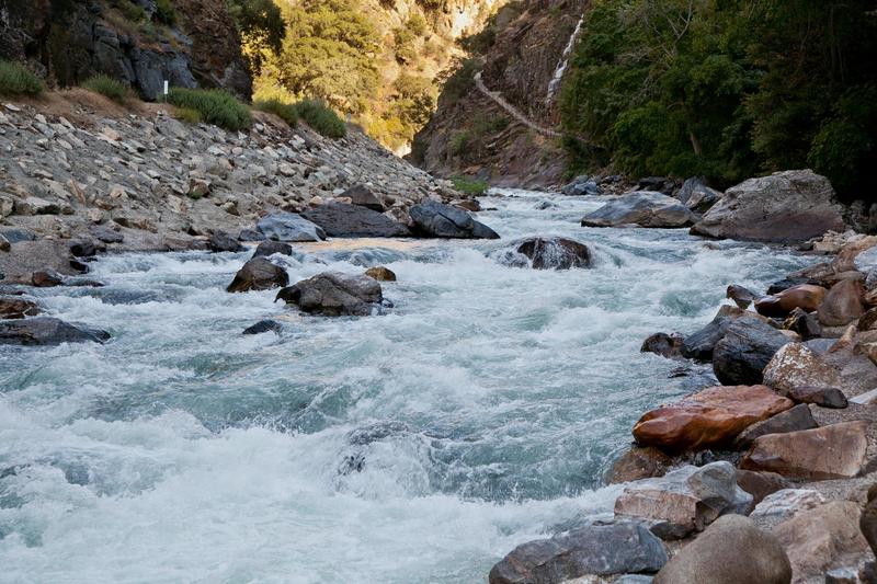
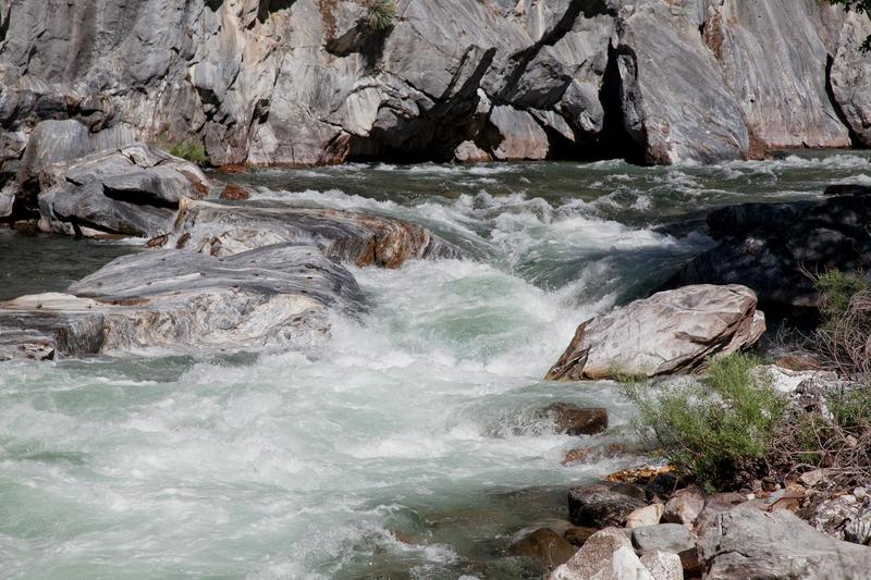
This obvious cascade below the Grizzly Falls Picnic Area marks the start of the middle section of big drops. Phil Martin ran it in some pointy boat back in the early 1990's but it was not encouraging to the rest of us. With todays boats and boaters it may seem of only moderate class 5 difficulty, but it has plenty of sieves and siphons, so don't get careless. Or maybe it still looks class 5+ even these days.
Location
Interactive river map
Loads as you approach this section.
View Full Run
2. Park Boundary to Boyden Cave
Kings, S. Fork
IV-V(V+)
8.0 mi
Current Conditions
5-Day Forecast
Whitewater data from
American Whitewater
American Whitewater