Take-out
GA
Pobiddy Road Take Out
Save this feature with the run it belongs to.
Gauge Conditions
Runnable: 150.0 – 1,000.0 CFS
Flow range for best boatability uncertain. Please help your fellow boaters with a comment or report.
Data from American Whitewater & USGS
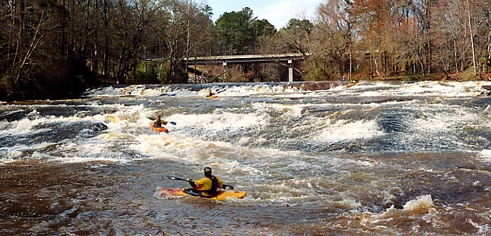
Photo

Photo courtesy of American Whitewater
Description
The Pobiddy Road Take Out is a transition point with potentially complex river dynamics where Potato Creek meets Flint River. Paddlers should carefully assess water levels and potential hazards during exit, as the confluence area may present unpredictable currents and potential strainers or debris accumulation.
Location
Interactive river map
Loads as you approach this section.
Other Rapids on This Run (3)

View Full Run
Hwy 74 to Flint River
Potato Creek
III-IV
12.0 mi
Current Conditions
5-Day Forecast
Whitewater data from
American Whitewater
American Whitewater