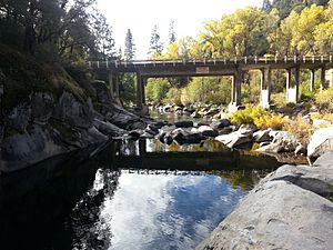
Ponderosa Way
Save this feature with the run it belongs to.
Gauge Conditions
Approximate - nearest available gauge. Use as general reference only.
CDEC Flow Data California
Description
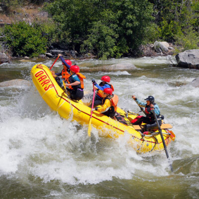
As of May 25, 2024, you definitely want a high clearance vehicle to get down Ponderosa Way from Hwy 26 south of the Mokelumne. Default directions from Dreamflows/AW say you could alternatively come down from north of the river, but the road there was completely covered in grass, like no one had driven it for years, and appears to go through private land (Google says something like "restricted"). The bridge is broken/impassable to vehicles.
https://www.google.com/maps/dir//38.3405742,-120.6305857/@38.3356975,-120.635478,1333m/data=!3m1!1e3!4m2!4m1!3e0?entry=ttu
https://www.facebook.com/524392848/videos/2175939299449937/
https://www.facebook.com/524392848/videos/7808450245878251/
Location
Other Rapids on This Run (12)


Current Conditions
5-Day Forecast
American Whitewater