Rapid
MI
Possible Access Point
Save this feature with the run it belongs to.
No sufficiently local live gauge linked. 1 automated match was excluded because locality could not be verified. Use the parent run and local sources before making a trip decision.
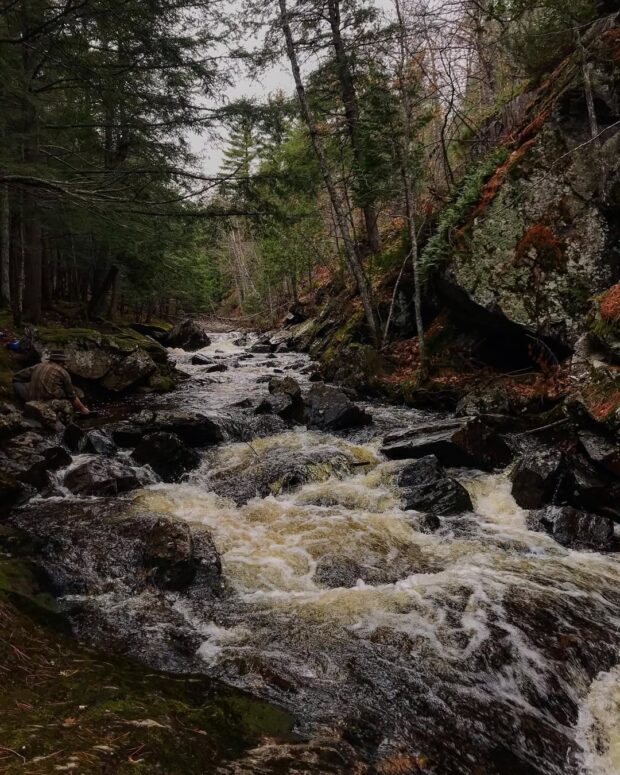
Photo
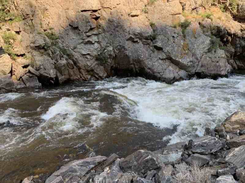
Photo courtesy of American Whitewater
Description
Satellite view appears to show a road (fording the stream -- no bridge) at this point. Oddly this does not show as a road on 'Map' view.
Unfortunately, the Satellite view seems to have been taken with trees in full-leaf, and the river is almost entirely obscured in these upper reaches. That may or may not reflect on how small and wooded up the stream is this far upstream, but it does weigh heavily on our decision to recommend put-in further downstream.
Location
Other Rapids on This Run (11)


View Full Run
Unnamed Road to Big Bay Road (5.62 miles)
Little Garlic
II-IV
4.8 mi
Current Conditions
5-Day Forecast
Whitewater data from
American Whitewater
American Whitewater