Rapid
MN
Possible access
Save this feature with the run it belongs to.
No sufficiently local live gauge linked. 1 automated match was excluded because the closest is 46.5 miles away. Use the parent run and local sources before making a trip decision.
Photo
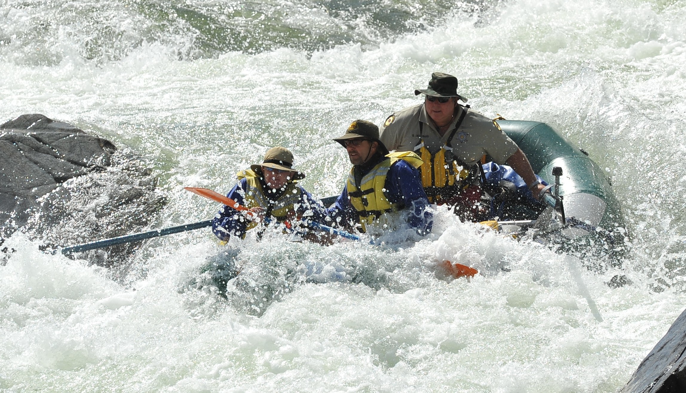
Photo courtesy of American Whitewater
Description
According to our anonymous contributor, the 'best' part of this run lies in the final two miles before confluence with the St. Louis River. This location appears to be the last road access, but pretty much bisects the run, leaving five miles to our listed take-out.
Location
Other Rapids on This Run (2)
View Full Run
US Route 53 to US Route 2 (11 miles)
Cloquet
II+
10.7 mi
Current Conditions
5-Day Forecast
Whitewater data from
American Whitewater
American Whitewater