Rapid
MI
Powerline / Bob's Creek Truck Trail
Save this feature with the run it belongs to.
Gauge Conditions
Runnable: ? – ? CFS
Approximate - nearest available gauge. Use as general reference only.
Data from American Whitewater & USGS
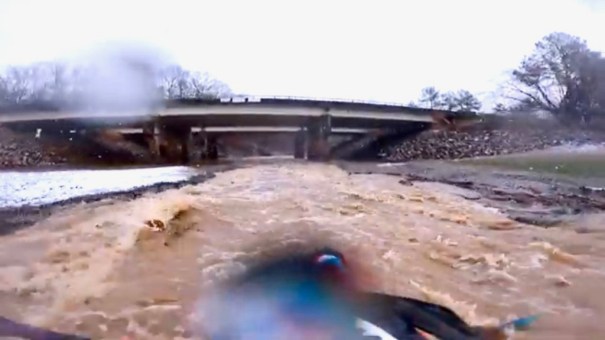
Photo
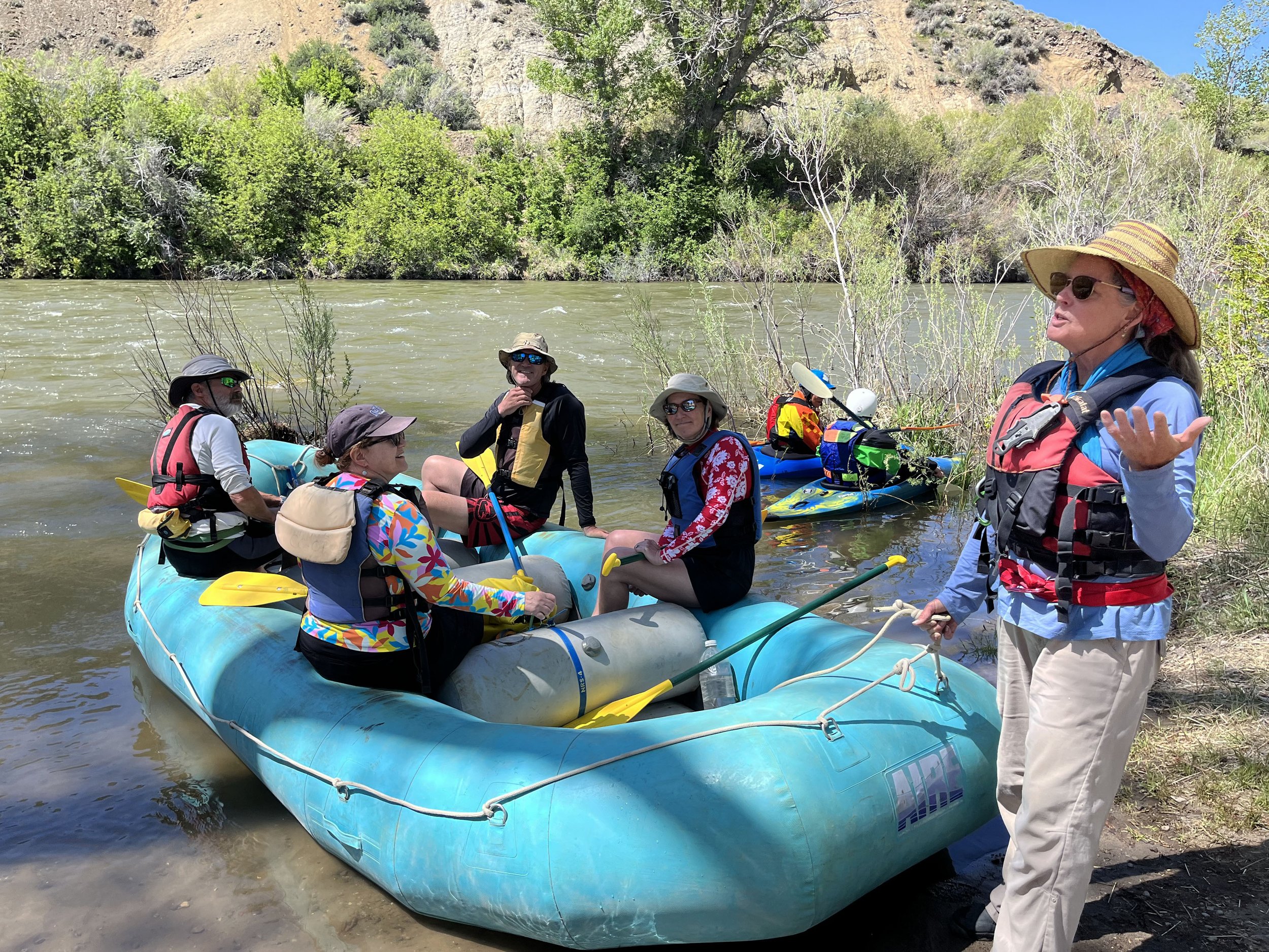
Photo courtesy of American Whitewater
Description
After a mile or more of largely flat/flowing water (the prior low-grade riffles having largely subsided), you will see powerlines overhead. A truck trail and a county road flank the river. The river does a quick jig-jog, and encounters another very brief section of low-grade riffles and rips.
Location
Other Rapids on This Run (12)
 Rapid
N/A
Rapid
N/A
Put In
 Rapid
N/A
Rapid
N/A
Confluence, E.Br.
 Rapid
N/A
Rapid
N/A
Low grade rapids
 Rapid
N/A
Rapid
N/A
More low-grade rapids
 Rapid
N/A
Rapid
N/A
USGS sampling site
 Rapid
N/A
Rapid
N/A
Confluence, Bob's Creek
 Rapid
N/A
Rapid
N/A
Confluence, W.Br.
 Rapid
N/A
Rapid
N/A
Confluence, Sawmill Creek
Rapid
N/A
Minor rapids
 Rapid
N/A
Rapid
N/A
Confluence, Little W.Br.
 Rapid
N/A
Rapid
N/A
Minor rips
 Rapid
N/A
Rapid
N/A
Take Out
View Full Run
A) Gwinn to Swimming Hole Creek (19.3 miles)
Escanaba
I-II
19.1 mi
Current Conditions
5-Day Forecast
Whitewater data from
American Whitewater
American Whitewater