Take-out
OR
Punchbowl Take-Out
Save this feature with the run it belongs to.
Gauge Conditions
Runnable: ? – ? CFS
Approximate - nearest available gauge. Use as general reference only.
Data from American Whitewater & USGS
Photo
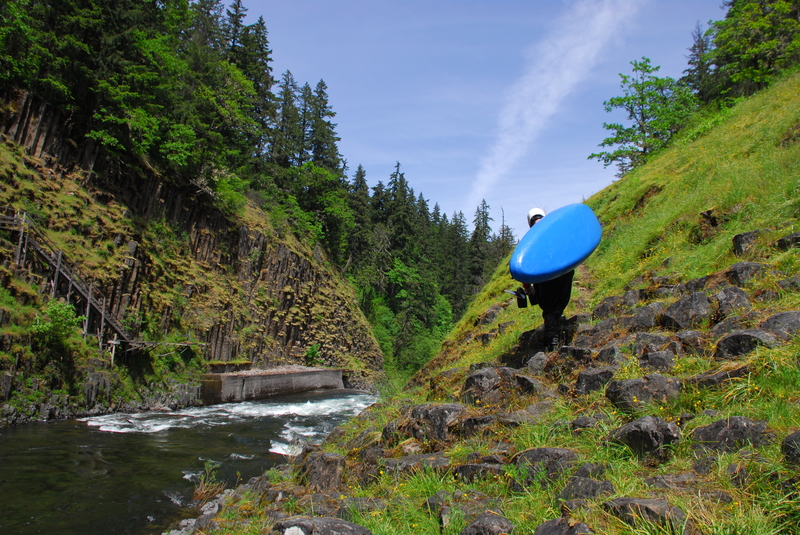
Photo courtesy of American Whitewater
Description
Eddy right below the high bridge rapid, then find the second right eddy where the takeout trail leaves the water. This take out is above Punchbowl Falls. The 'goat path' climbs up and left, ascending the bluff above the falls. Parking is available along Punchbowl Road. American Whitewater worked to secure public access to this site when the private land at the confluence of the West and East Fork of the Hood River was for sale. Western Rivers Conservancy was able to acquire the parcel and Thrive Hood River lead an effort to establish it as a Punchbowl Falls County Park.
Location
Interactive river map
Loads as you approach this section.
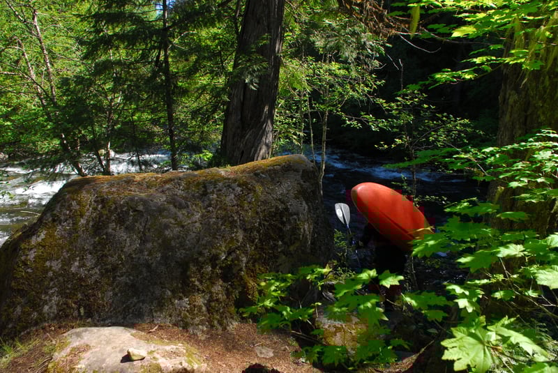
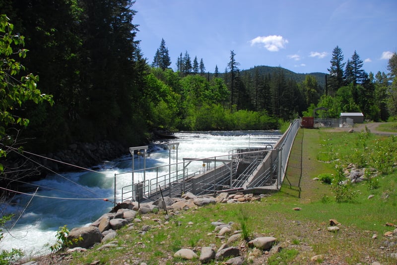
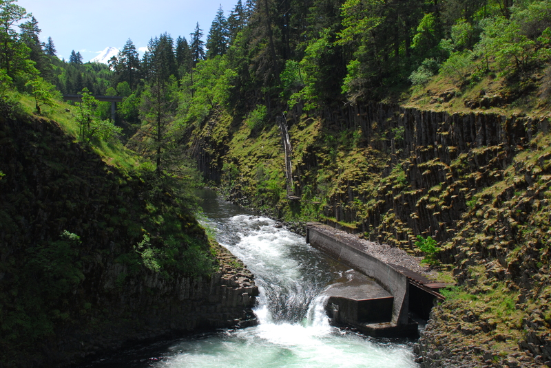
Other Rapids on This Run (3)
View Full Run
3. Lake Branch to Punchbowl Falls
Hood, West Fork
III-IV+
5.7 mi
Current Conditions
5-Day Forecast
Whitewater data from
American Whitewater
American Whitewater