Put-in
WY
Put In
Save this feature with the run it belongs to.
No sufficiently local live gauge linked. 1 automated match was excluded because locality could not be verified. Use the parent run and local sources before making a trip decision.
Photo
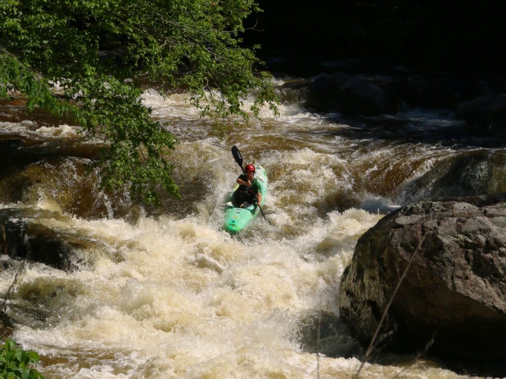
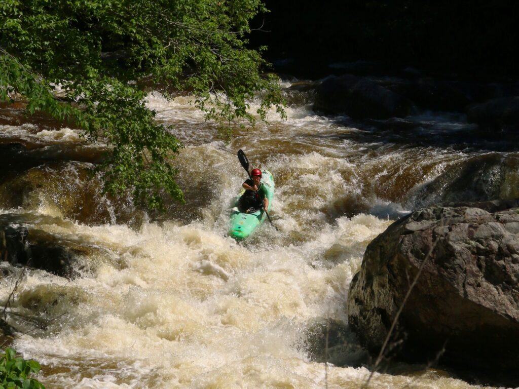
Photo courtesy of American Whitewater
Description
The Put In rapid marks the start of the Deer Creek's upper canyon descent, featuring a complex entry with multiple potential lines through a boulder-strewn riverbed. Paddlers should carefully scout the rapid for potential pin hazards and shifting rocks, with the most navigable route typically requiring precise maneuvering along the river's right side during medium to high water levels.
Location
Interactive river map
Loads as you approach this section.
Other Rapids on This Run (1)
View Full Run
1- Sec 4,T29N, R77W to Forest Service boundary (Upper Canyon)
Deer Creek
III-V
10.4 mi
Current Conditions
5-Day Forecast
Whitewater data from
American Whitewater
American Whitewater