Put-in
CA
Put In
Save this feature with the run it belongs to.
Gauge Conditions
Runnable: 8.9 – 15.0 FT
Data from American Whitewater & USGS
CDEC Flow Data California
Data from California Data Exchange Center (CDEC)
Photo
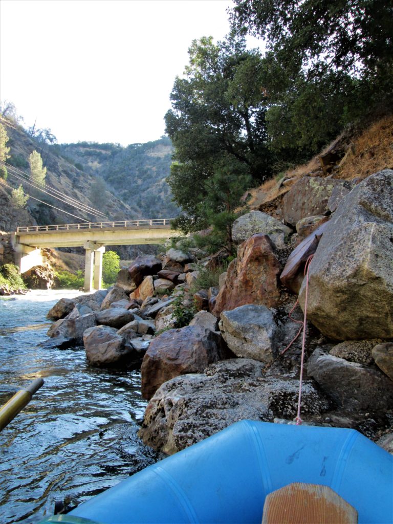
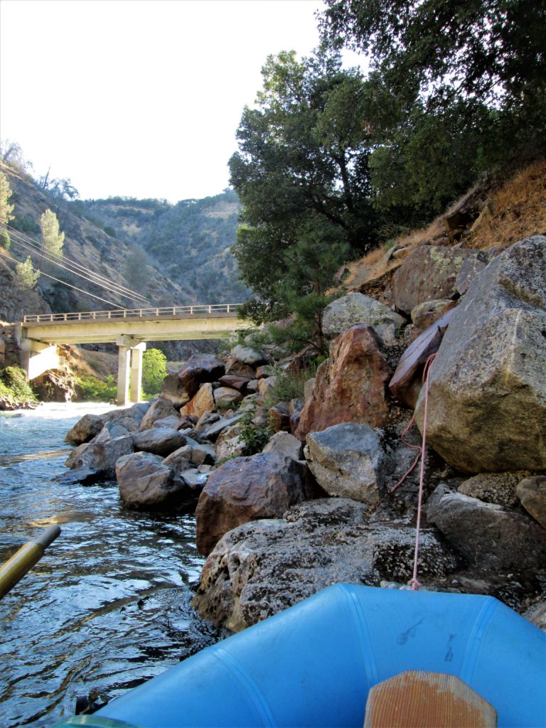
Photo courtesy of American Whitewater
Description
Put In is the initial access point and launch location for the Tuolumne River run through Tuolumne Meadows, marking the start of a remote high-altitude wilderness whitewater journey. While not a significant rapid itself, the Put In requires careful boat positioning and awareness of potential shallow sections and river entry logistics in the alpine environment. Paddlers should scout entry conditions, assess water levels, and prepare for the extended backcountry wilderness section ahead.
Location
Interactive river map
Loads as you approach this section.
Other Rapids on This Run (1)
View Full Run
1. Tuolumne Meadows to Hetch Hetchy Reservoir
Tuolumne
IV-V+
31.9 mi
Current Conditions
5-Day Forecast
Whitewater data from
American Whitewater
American Whitewater