Put-in
AR
Put In
Save this feature with the run it belongs to.
Gauge Conditions
Data from American Whitewater & USGS
Photo
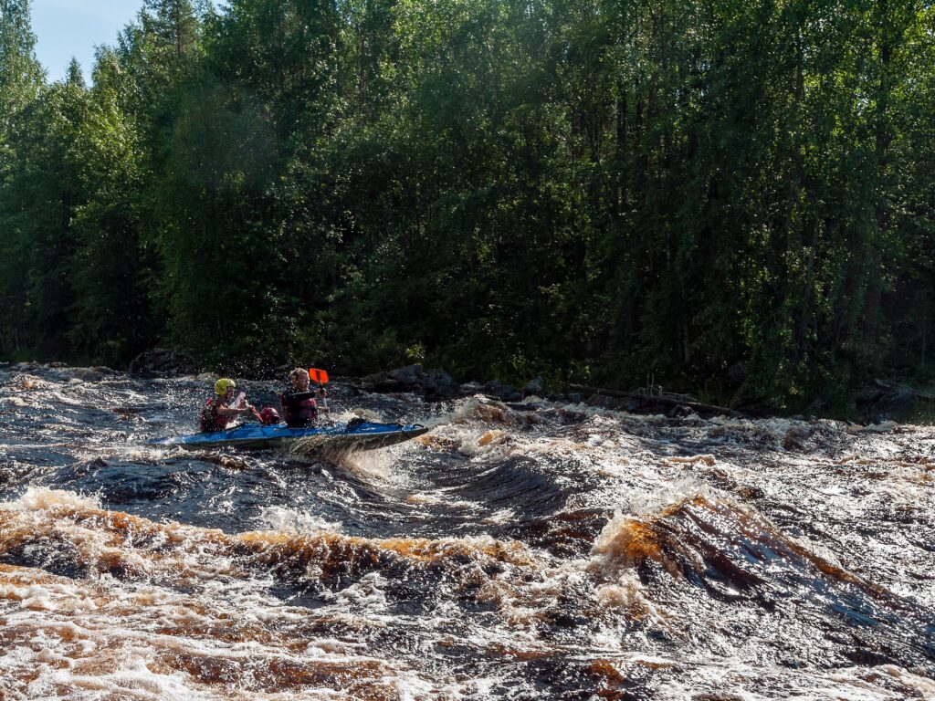
Photo courtesy of American Whitewater
Description
The Put In rapid marks the start of the Richland Creek run, offering paddlers an immediate entry point into the creek's challenging gradient. While specifics of this particular rapid are limited, the location suggests a potential technical start with potential boulder obstacles or tight channel features typical of Ozark mountain streams. Paddlers should scout and assess water levels and potential hazards before launching.
Location
Interactive river map
Loads as you approach this section.
Other Rapids on This Run (2)
View Full Run
2) Richland Creek Campground to NFR 1201 (8.5 miles)
Richland Creek
II-III(IV)
8.5 mi
Current Conditions
5-Day Forecast
Whitewater data from
American Whitewater
American Whitewater