Put-in
AK
Put In
Save this feature with the run it belongs to.
No sufficiently local live gauge linked. 1 automated match was excluded because the closest is 25.2 miles away. Use the parent run and local sources before making a trip decision.
Photo
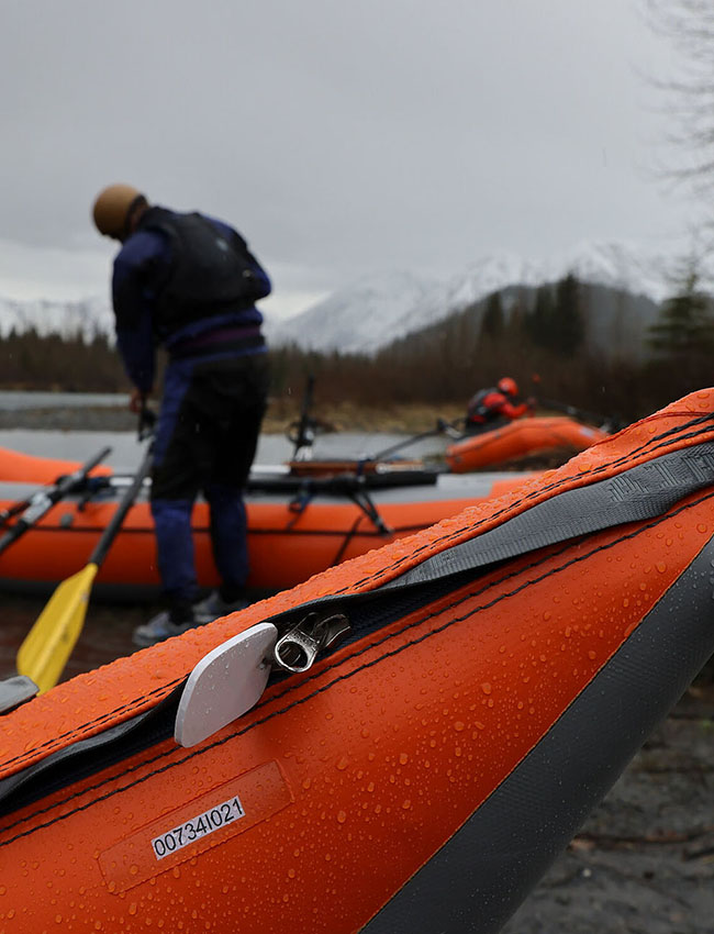
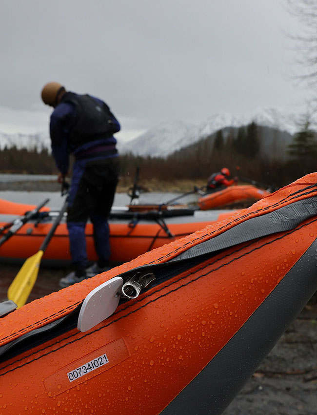
Photo courtesy of American Whitewater
Description
Put In is an unmarked river section with minimal definitive features, transitioning from mountain terrain to tidal zones through rocky, braided channels. Paddlers should expect variable water conditions with potential for submerged obstacles and shifting channel routes, requiring constant route-finding and technical maneuvering. Limited beta exists for this stretch, so precise navigation and self-reliance are critical.
Location
Interactive river map
Loads as you approach this section.
Other Rapids on This Run (1)
View Full Run
3 miles above Windy/Rocky confluence to tidewater
Windy / Rocky
IV
11.0 mi
Current Conditions
5-Day Forecast
Whitewater data from
American Whitewater
American Whitewater