Put-in
MI
Put In
Save this feature with the run it belongs to.
No sufficiently local live gauge linked. 1 automated match was excluded because locality could not be verified. Use the parent run and local sources before making a trip decision.
Photo
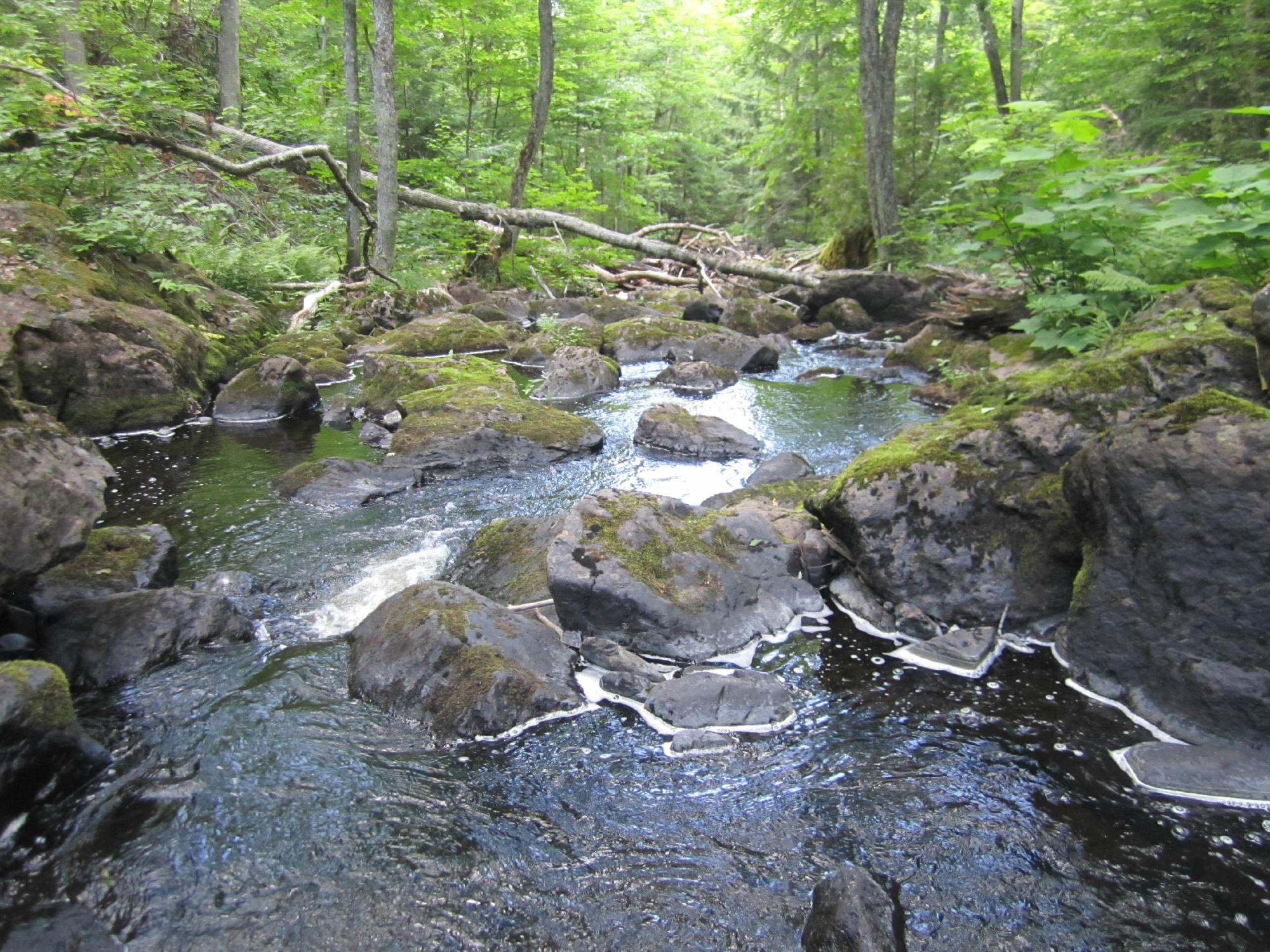
Photo courtesy of American Whitewater
Description
The Put In rapid marks the starting point for the Upper Dog section, providing paddlers with an immediate entry into the river's flow. While specifics are limited, the rapid likely presents initial navigational challenges typical of a river launch point, with potential rock gardens or initial gradient changes that require careful boat positioning and reading the water.
Location
Interactive river map
Loads as you approach this section.
Other Rapids on This Run (3)
View Full Run
A) 'Upper Dog': Mulligan Truck Trail to CR510 (8.3 miles)
Yellow Dog
II-III(V+)
8.4 mi
Current Conditions
5-Day Forecast
Whitewater data from
American Whitewater
American Whitewater