Put-in
WI
Put In
Save this feature with the run it belongs to.
Gauge Conditions
Runnable: ? – ? CFS
Approximate - nearest available gauge. Use as general reference only.
Data from American Whitewater & USGS
Photo
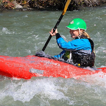
Photo courtesy of American Whitewater
Description
Put In is the starting point for the Potato River run, offering paddlers an initial entry into the river's flow with minimal technical challenges. Depending on water levels, the access point may present varying entry conditions, so scouting the put-in and checking current river status is recommended for safe navigation.
Location
Interactive river map
Loads as you approach this section.
Other Rapids on This Run (20)
 Rapid
II
Rapid
II
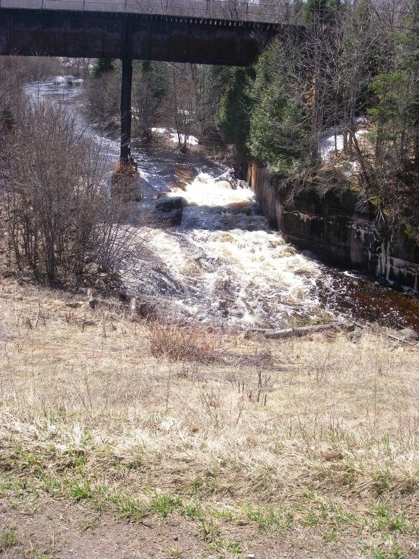
Railroad Drop
Rapid
N/A
USGS sampling site
 Rapid
N/A
Rapid
N/A
Island
 Rapid
IV
Rapid
IV
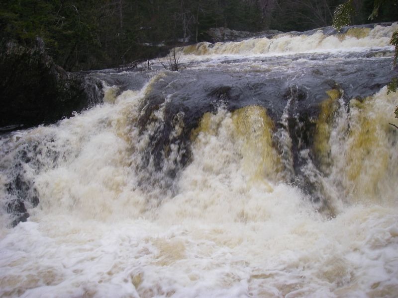
Upson Falls
 Rapid
N/A
Rapid
N/A
Upson Park Road
 Rapid
III
Rapid
III
Second Ledge Sequence
 Rapid
III
Rapid
III
Third Ledge
 Rapid
N/A
Rapid
N/A
*Possible* mild gradient/rockgarden sequence
 Rapid
N/A
Rapid
N/A
Rock outcrop sequence
 Rapid
N/A
Rapid
N/A
Tree covered ledge?
 Rapid
N/A
Rapid
N/A
(Chute?)
 Rapid
N/A
Rapid
N/A
Confluence Alder Creek
 Rapid
N/A
Rapid
N/A
(Low gradient rapids bouldergarden)
 Rapid
N/A
Rapid
N/A
Upson Lake Road
 Rapid
N/A
Rapid
N/A
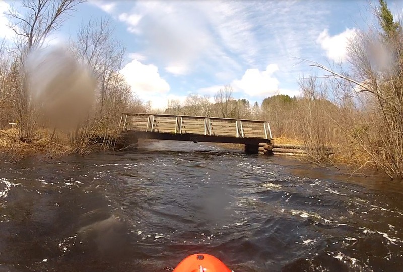
ATV/Snowmobile Bridge
 Rapid
N/A
Rapid
N/A
Rocky Sequence
 Rapid
N/A
Rapid
N/A
Confluence: Sullivan Creek
 Rapid
N/A
Rapid
N/A
Casey Sag Road / Sullivan Road
 Waterfall
N/A
Waterfall
N/A
Foster Falls
 Rapid
N/A
Rapid
N/A
Dells
View Full Run
A) Upson Falls to Foster Falls (Sullivan Rd) (2.5 or 7.2 miles)
Potato
II-III(IV)
6.9 mi
Current Conditions
5-Day Forecast
Whitewater data from
American Whitewater
American Whitewater