Put-in
MI
Put In
Save this feature with the run it belongs to.
Gauge Conditions
Runnable: ? – ? CFS
Approximate - nearest available gauge. Use as general reference only.
Data from American Whitewater & USGS
Photo
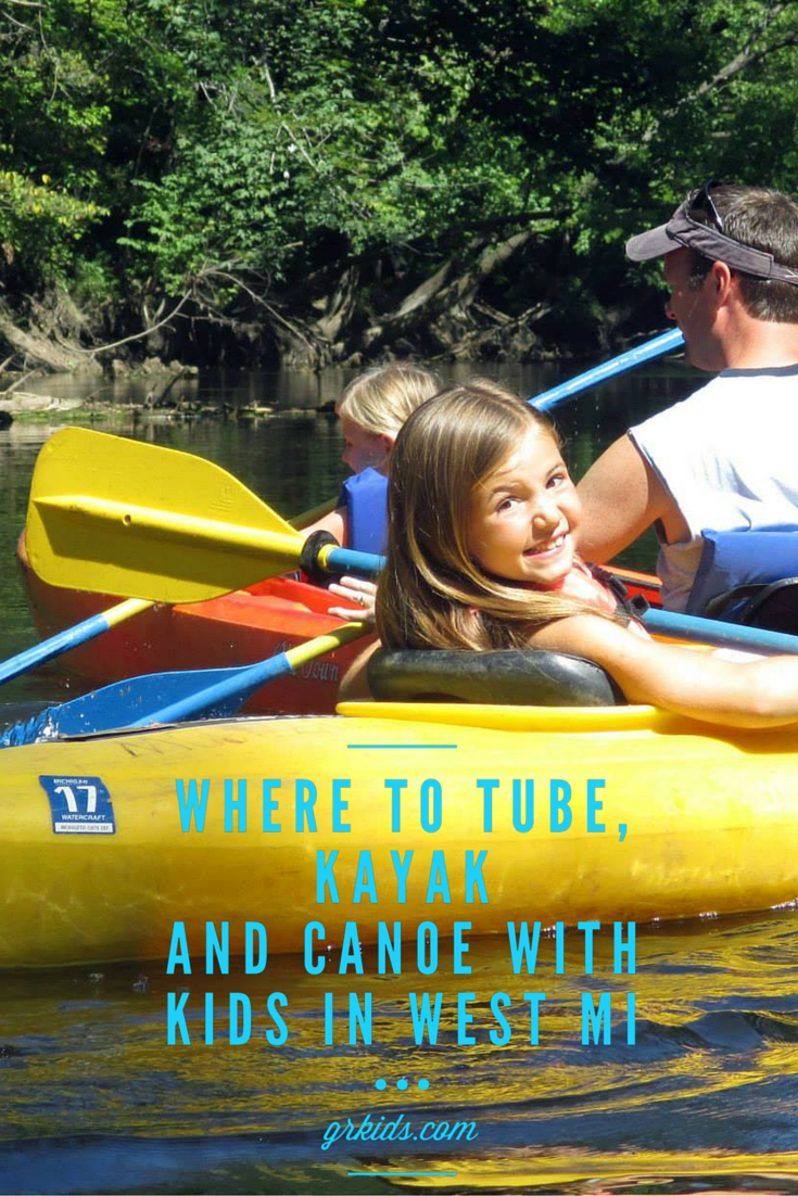
Photo courtesy of American Whitewater
Description
Put In rapid marks the entry point for this section of the Middle Branch Ontonagon, with a moderate gradient and scattered boulder gardens requiring careful route selection. Paddlers should be prepared for potential shallow spots and mid-stream rock clusters that can create unpredictable water flow and require precise maneuvering. While the rapid's difficulty is not definitively rated, local knowledge and scouting are recommended for safe navigation.
Location
Other Rapids on This Run (18)
Rapid
N/A
A note about gauging flows in this stretch:
Rapid
N/A
Upstream Reach
Rapid
N/A
Initial Sequence
Rapid
N/A
Increased action
Rapid
N/A
House/cabin, river-left
Rapid
N/A
House/cabin, river-right
Rapid
N/A
Island
Rapid
N/A
CC Road
Rapid
N/A
House/cabin, river-right
Rapid
N/A
Islands/logjams
Rapid
N/A
House/cabin, river-right
Rapid
N/A
House (barn?), river-right
Rapid
N/A
SNAG CITY!
Rapid
N/A
building (house? barn?) river-right
Rapid
N/A
Action increases
Rapid
N/A
House/cabin, river-right
Rapid
N/A
Final Sequence
 Rapid
N/A
Rapid
N/A
Take Out
View Full Run
B) below Bond Falls to Hwy.28 (8.4 miles)
Ontonagon, M.Br.
II
7.8 mi
Current Conditions
5-Day Forecast
Whitewater data from
American Whitewater
American Whitewater