Put-in
WI
Put In
Save this feature with the run it belongs to.
Gauge Conditions
Runnable: ? – ? CFS
Approximate - nearest available gauge. Use as general reference only.
Data from American Whitewater & USGS
Photo
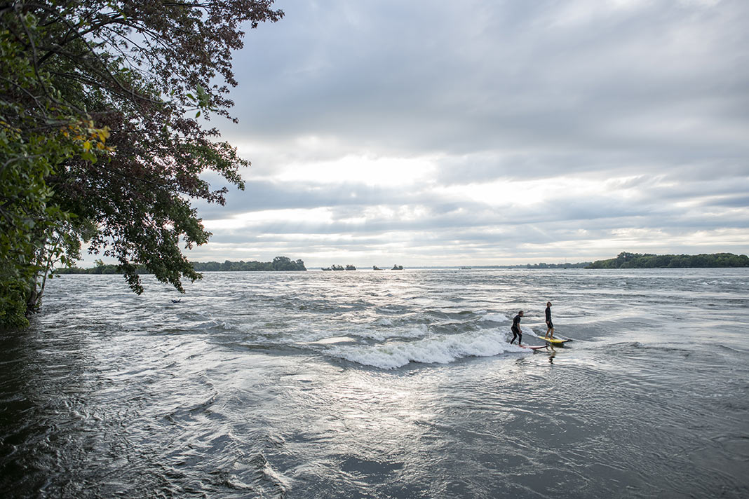
Photo courtesy of American Whitewater
Description
Put In is the initial access point for the Montreal River section, offering paddlers an entry into a remote and technical stretch of whitewater. While specific details about the rapid itself are limited, the surrounding wilderness and potential for challenging navigation suggest careful scouting and preparation are essential for this river segment.
Location
Interactive river map
Loads as you approach this section.
Other Rapids on This Run (11)
Rapid
N/A
General Comment:
Rapid
N/A
Confluence, Welch Creek
Rapid
N/A
Braided Channel
Rapid
N/A
USGS site
Rapid
N/A
Confluence, Spring Creek
Rapid
N/A
Hwy.2 Alternate Put-in
Rapid
N/A
Confluence, W.Fk.
Rapid
N/A
Possible egress
 Rapid
N/A
Rapid
N/A
Confluence, Boomer Creek
Rapid
N/A
Confluence, Mud Creek
 Rapid
N/A
Rapid
N/A
Take Out
View Full Run
B) Nylund Road to Saxon Falls Dam (17.9 miles)
Montreal
I-II
16.8 mi
Current Conditions
5-Day Forecast
Whitewater data from
American Whitewater
American Whitewater