Put In (Drainage 28 sq.mi.)
Save this feature with the run it belongs to.
Gauge Conditions
Likely less than 100 cfs. Likely entirely too low for reasonable whitewater.
Description
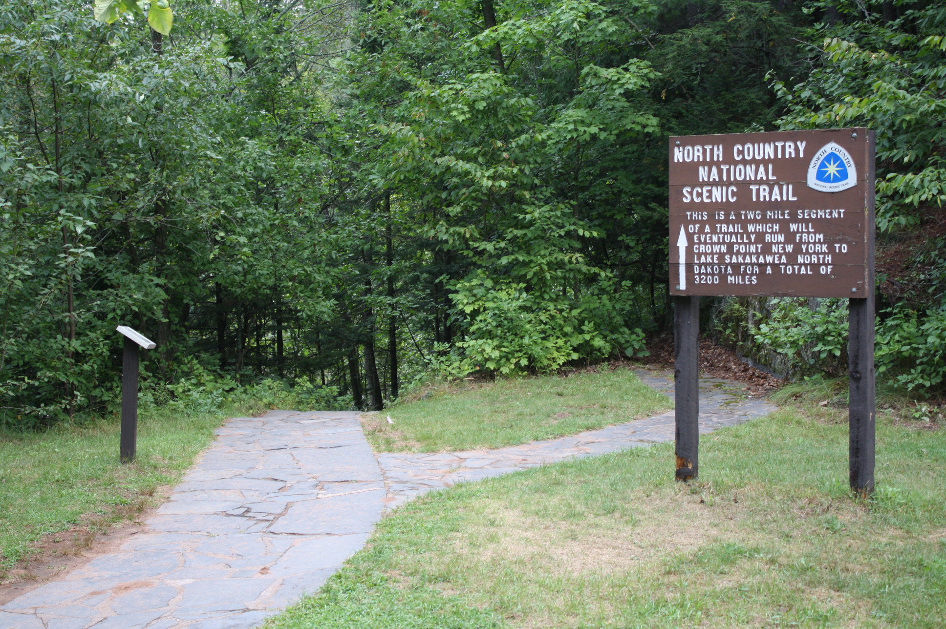
Put-in below the dam off of Drummond Dam Road.
Approximate put-in elevation is 1240'.
Our listed take-out elevation is 920'.
Thus elevation change is approximately 320'
making overall gradient ~28.4 FPM.
Drainage at the put-in is 28 square miles.
Drainage at the take-out is 49.7 square miles (a 77.5% increase).
And, this is as good a place as any for an aside ... normally the software/data-layer calculation of the length of various runs tends to be very close to the length I had gotten via tracing the stream on GoogleMaps. This one, oddly, is quite 'off'. GoogleMaps measures distance to our listed (private property) take-out as 11.33 miles (vs. AW/data-layer distance of 8.6 miles), and distance to the Raymond Avenue/ 'Taylor Lane'/'Anderson Road' bridge take-out as 12.05 miles (vs AW/data-layer distance of 9.2 miles).
Location
Current Conditions
5-Day Forecast
American Whitewater