Put-in
MI
Put In
Save this feature with the run it belongs to.
Gauge Conditions
Runnable: ? – ? CFS
Approximate - nearest available gauge. Use as general reference only.
Data from American Whitewater & USGS
Photo
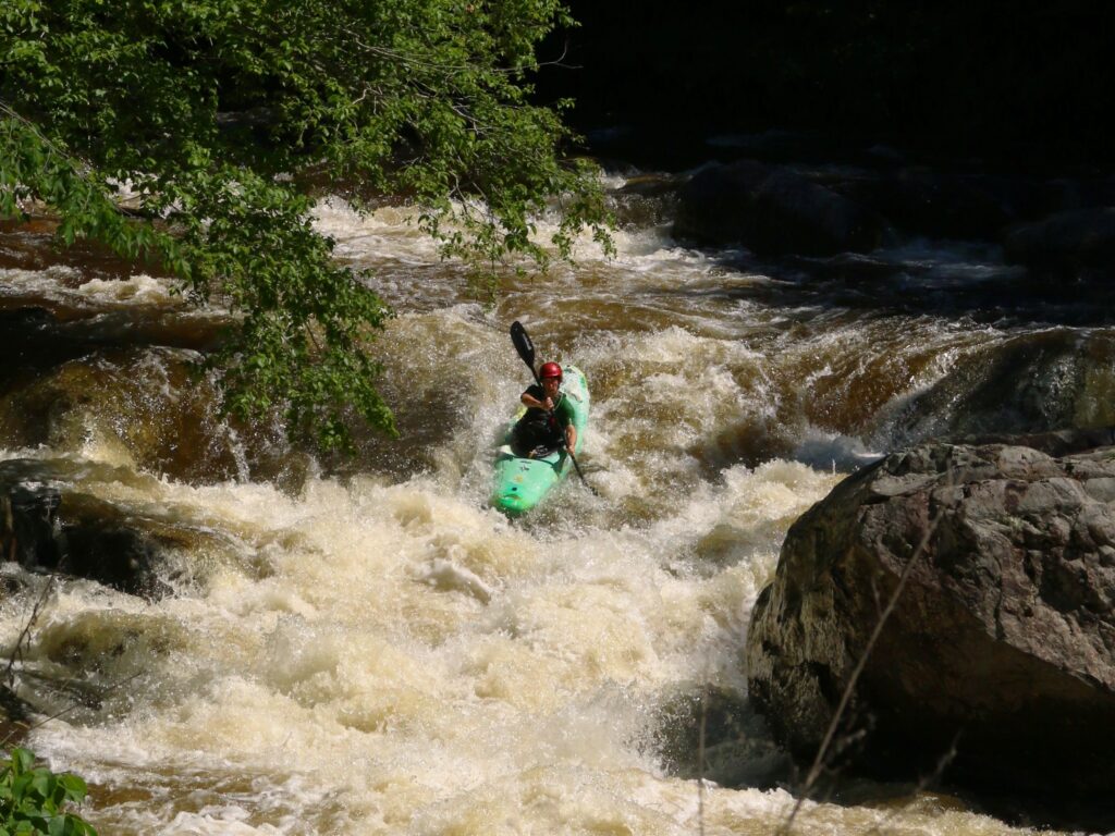
Photo courtesy of American Whitewater
Description
The Put In rapid marks the beginning of the South Branch Ontonagon's river run, offering paddlers an initial assessment of water conditions and river character. While difficulty is unspecified, boaters should be prepared for potential shallow areas, submerged rocks, and variable flow that could impact navigation and route selection.
Location
Interactive river map
Loads as you approach this section.
Other Rapids on This Run (10)
Rapid
N/A
USGS Sampling Site
Rapid
N/A
Flannigan Rapids
Rapid
N/A
Flannigan Rapids ends
Rapid
N/A
Confluence, Farmer Creek / Three Islands
Rapid
N/A
Steep eroded bank
Rapid
N/A
Scattered rips
Rapid
N/A
Islands / Confluence W.Br.
Rapid
N/A
Low-grade rapids
Rapid
N/A
Backwaters, Victoria Reservoir
 Rapid
N/A
Rapid
N/A
Take Out
View Full Run
Hwy.28 (in Ewen) to W Br Ontonagon (26.5 miles)
Ontonagon, S.Br.
I-III
26.4 mi
Current Conditions
5-Day Forecast
Whitewater data from
American Whitewater
American Whitewater