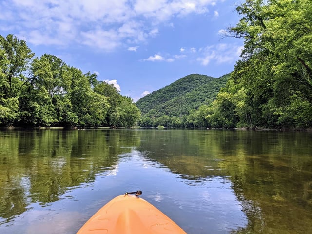
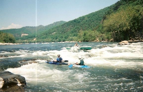
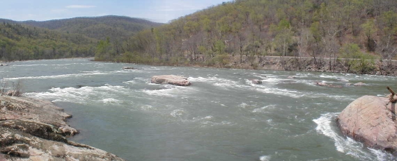
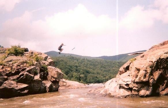
Put-in - Locher Landing in Glasgow, VA
Save this feature with the run it belongs to.
Gauge Conditions
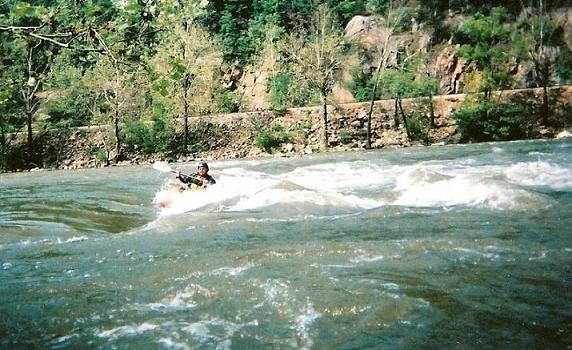
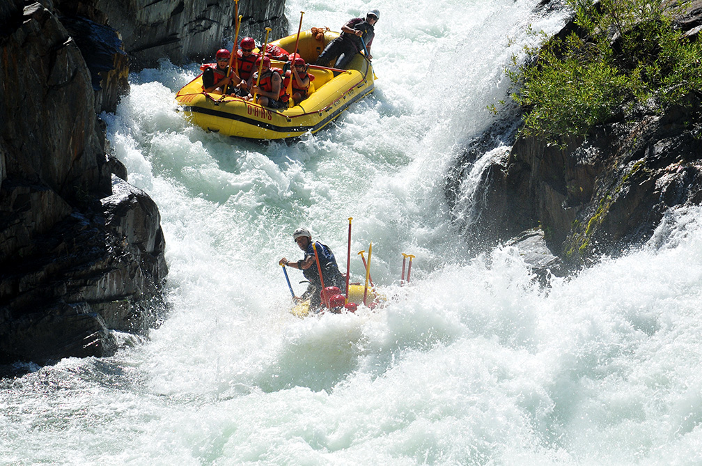
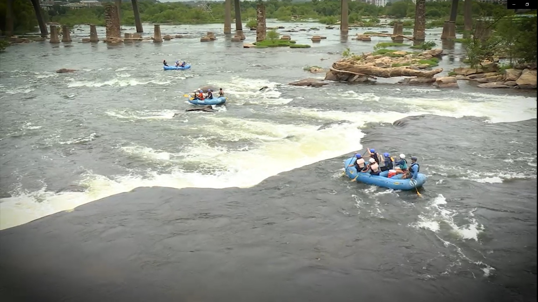
Photo
Description
The road to the Locher Landing put-in dead-ends at a large gravel parking area on the Maury River, just upstream of a railroad trestle which lies between the put-in and the confluence of the James and Maury Rivers. There is a concrete boat ramp that can be used to access the river. Some choose to seal launch off the grassy bank to the left of the ramp.
From Roanoke: Take I-81 North to the exit 175, Natural Bridge, VA exit. Take a right off of the ramp and take a left on Rt 11. Follow Rt 11 a couple of miles until you get to Natural Bridge State Park. Take that Right (follow signs to Glasgow, Rt 130). Once you arrive in Glasgow look for a DG Market on the right and turn right just before it. Look for the Boat Landing signs.
Location
Other Rapids on This Run (13)
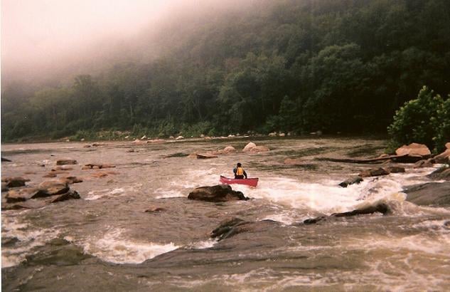 Portage
II+
Portage
II+
 Playspot
I
Playspot
I
 Playspot
II
Playspot
II
 Playspot
II
Playspot
II
 Playspot
III
Playspot
III
 Rapid
II
Rapid
II
 Playspot
II
Playspot
II
 Playspot
II
Playspot
II
 Rapid
II+
Rapid
II+
 Playspot
II
Playspot
II
 Playspot
II
Playspot
II
 Rapid
II
Rapid
II
 Rapid
N/A
Rapid
N/A
Current Conditions
5-Day Forecast
American Whitewater