Put-In
Save this feature with the run it belongs to.
Photo
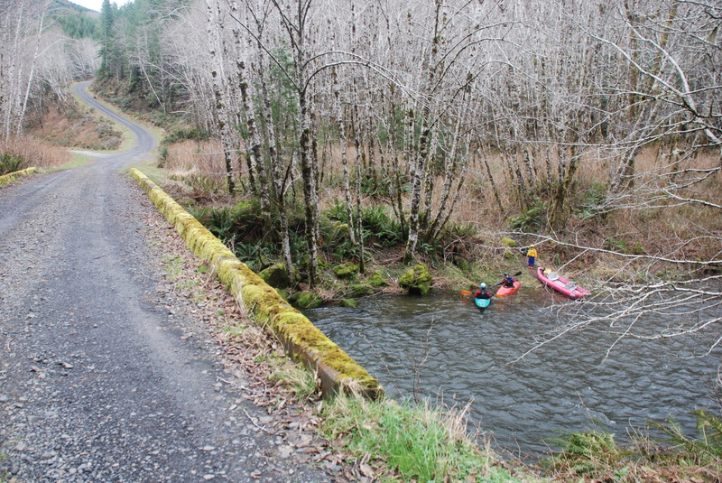
Description
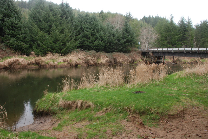
To reach the put-in from Waldport on Highway 101 take North Bayview Road on the north side of the Alsea River up 2.6 miles and turn north on South Beaver Creek Road. Take the road 5.3 miles to the T junction with North Beaver Creek Road and turn right headed up the valley (you will be joining this road at mile post 1.0). You will climb up along Beaver Creek and at milepost 12 you will come to a T junction with the 1000 Line Road (aka FR 31). You join this road at milepost 5.3 (it starts down in Toledo and it's possible to come up from there). Continue to milepost 9.5 and turn right on the 1100 Road (alternatively you can continue on up the 1000 road for a put-in higher up). Within half a mile of turning on to the 1100 Road you will see a farm and then Drift Creek as you head downstream along river right. At mile 1.0 you will cross Drift Creek and this bridge serves as a put-in. You can continue downstream (to stay on the 1100 road stay left at the Y at mile 2.0) and at mile 2.2 you will cross Drift Creek again at another access point. If you have high clearance you can take an immediate left after crossing the bridge and head downstream on river right for a short distance to the lowest possible put-in.
Location
Other Rapids on This Run (2)
Current Conditions
5-Day Forecast
American Whitewater