Put-in
WY
Put In
Save this feature with the run it belongs to.
Gauge Conditions
Runnable: ? – ? CFS
Approximate - nearest available gauge. Use as general reference only.
Data from American Whitewater & USGS
Photo

Photo courtesy of American Whitewater
Description
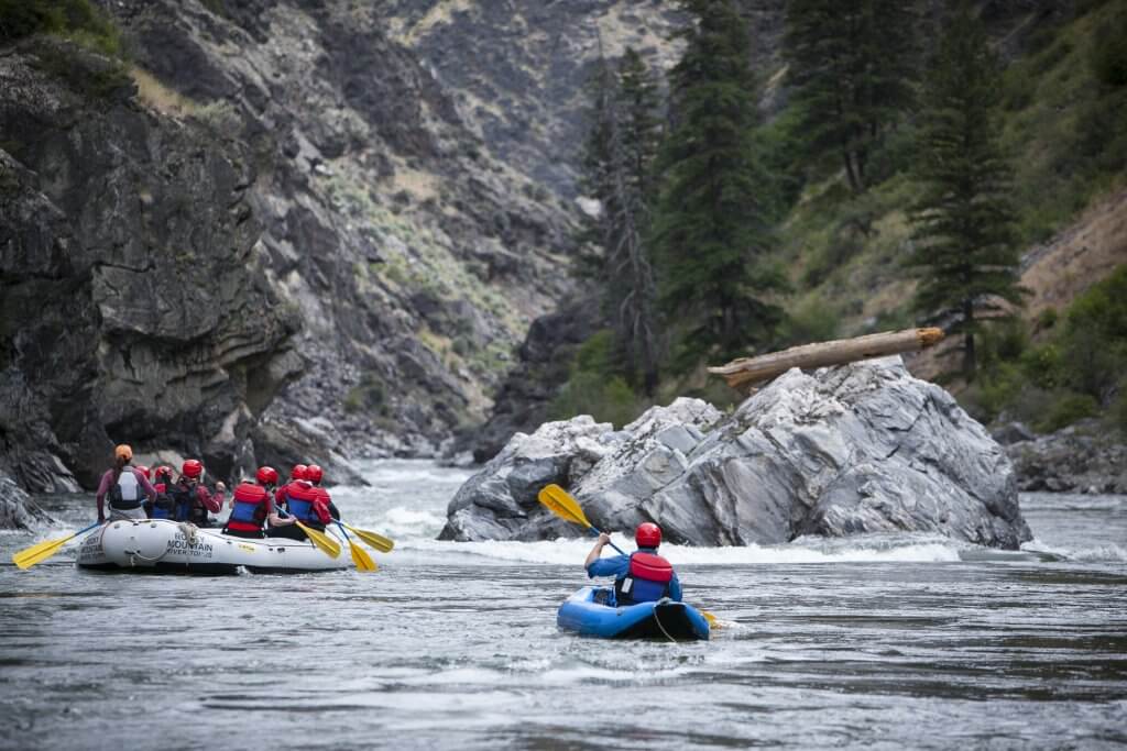
Put In is a transition point between the North and South Branches, marked by a broad, relatively straightforward entry into the main river channel. Paddlers should be aware of potential debris and shifting gravel bars that can create unexpected hydraulics, especially during lower water levels. While not technically challenging, careful navigation and situational awareness are recommended when entering the main river flow.
Location
Interactive river map
Loads as you approach this section.
Other Rapids on This Run (1)
View Full Run
N.+S.Br.conf to US26
Ditch Creek
I
7.5 mi
Current Conditions
5-Day Forecast
Whitewater data from
American Whitewater
American Whitewater