Put-in
MI
Put In
Save this feature with the run it belongs to.
Gauge Conditions
Runnable: ? – ? CFS
Approximate - nearest available gauge. Use as general reference only.
Data from American Whitewater & USGS
Photo
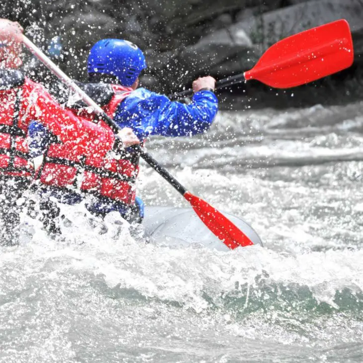
Photo courtesy of American Whitewater
Description
Put In rapid on Sandstone Creek offers a straightforward entry point with minimal technical challenges, primarily serving as a launching section for paddlers accessing the river. The rapid appears to be a basic put-in location with likely flat or mild water conditions, providing a standard access point along Highway 45. Paddlers should assess local water levels and potential debris near the roadside before launching.
Location
Interactive river map
Loads as you approach this section.
View Full Run
roadside along Hwy.45 (up to 1.44 miles)
Sandstone Creek
IV
1.4 mi
Current Conditions
5-Day Forecast
Whitewater data from
American Whitewater
American Whitewater