Put-in
MD
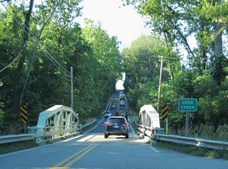
Put In - Sandy Hook Rd./Deer Creek Conservation Area
Save this feature with the run it belongs to.
Gauge Conditions
Data from American Whitewater & USGS
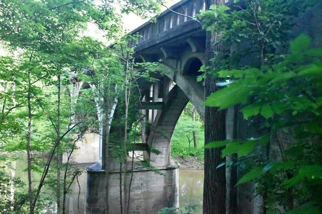
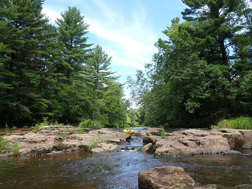
Photo
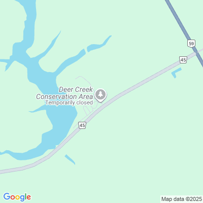
Photo courtesy of American Whitewater
Description
To get to the Sandy Hook Rd./Deer Creek Conservation Area parking put-in, going North on US 1, look for Sandy Hook Rd on the left about a half mile after you cross Deer Creek on US1 northeast of Belair MD. Follow Sandy Hook Rd a mile or so until you come to a stop sign. Turn left at the stop sign (still on Sandy Hook Rd.) and follow Sandy Hook Rd down to Deer Creek. Immediately after you cross the Deer Creek bridge, turn right into the parking area. From this put-in to the MD 136 bridge is about 5.3 miles
Location
View Full Run
5. Sandy Hook Rd./Deer Creek Conservation area to MD 136
Deer Creek
I-II
5.6 mi
Current Conditions
5-Day Forecast
Whitewater data from
American Whitewater
American Whitewater