Gauge Conditions
Data from American Whitewater & USGS
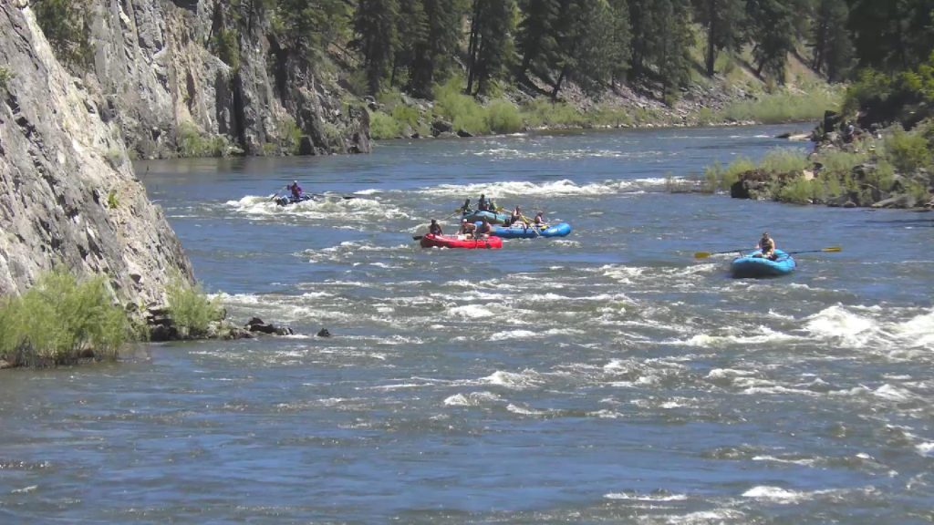
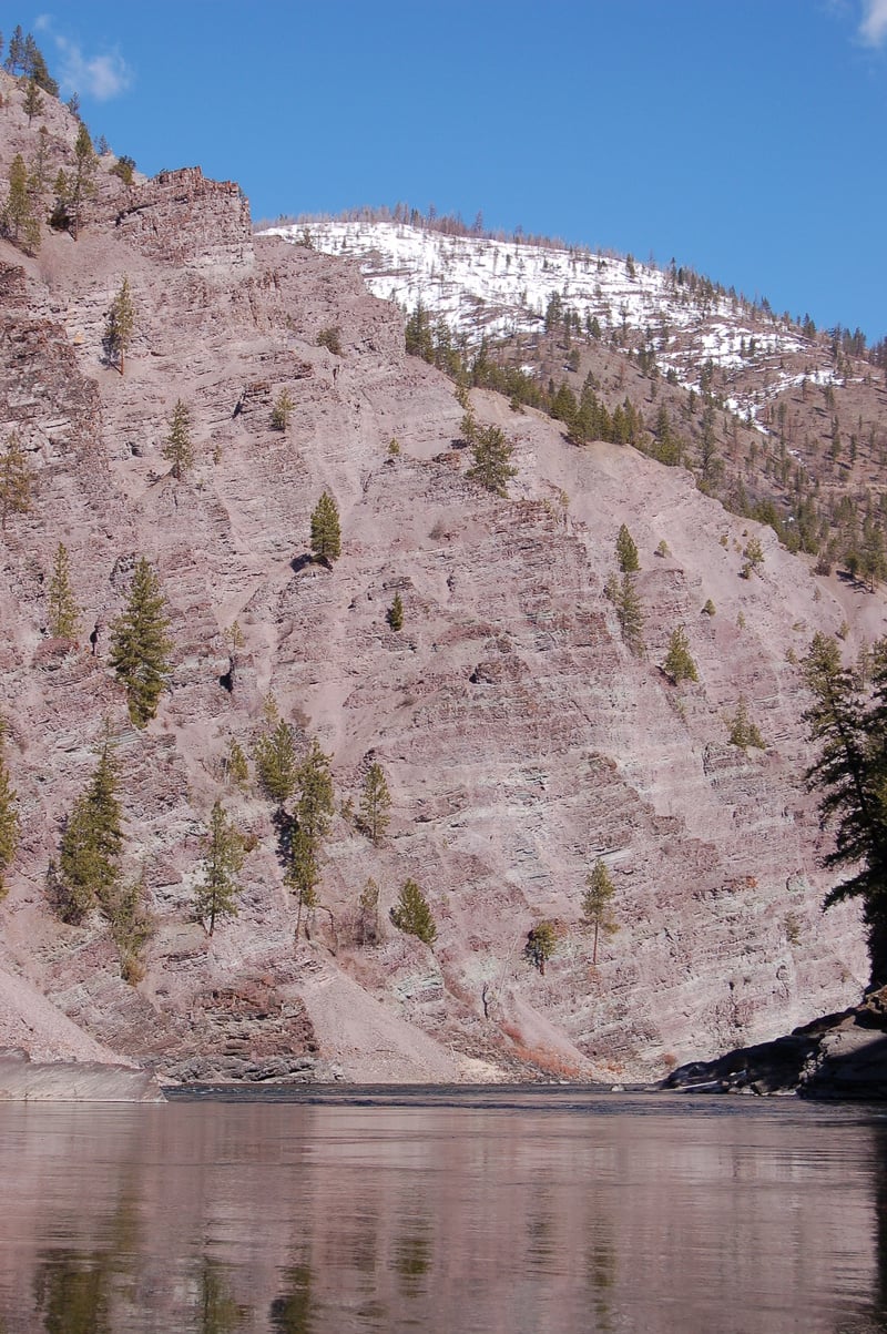
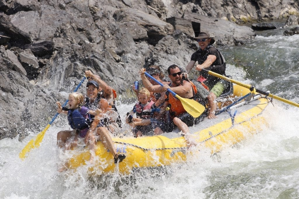
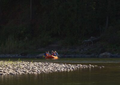
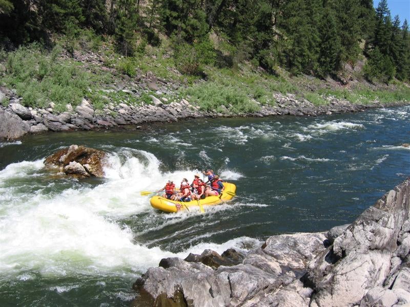
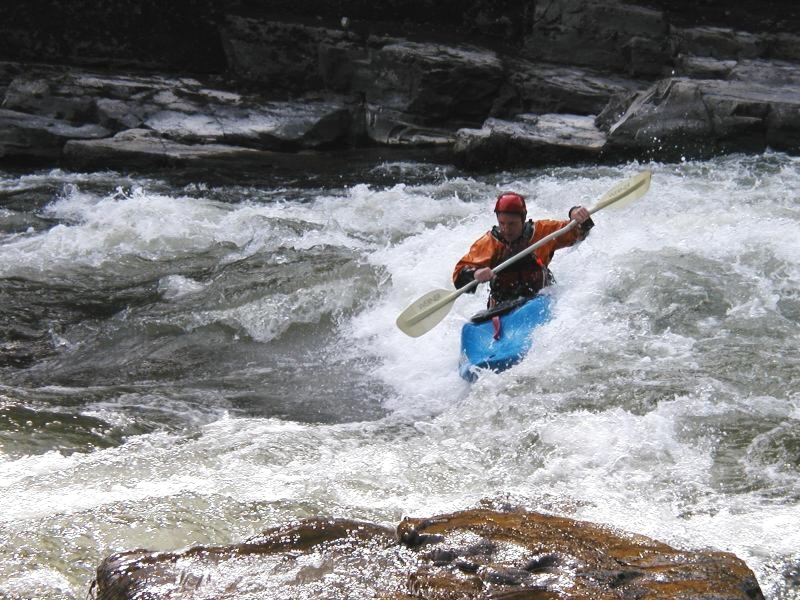
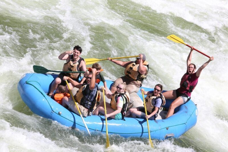
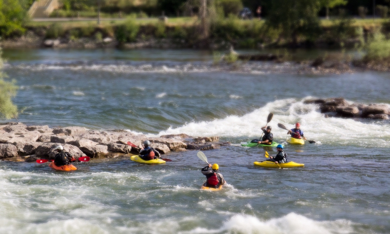
Photo

Photo courtesy of American Whitewater
Description
Kayakers generally take out at Ralph's which requires a hike up a rough set of wooden stairs and a steep road, to a wooded parking area. Look for the stairs on the right, near the end of a nice little wave train down the right bank. To reach Ralphs by car, turn left off of the main shuttle road onto a small gravel road that after a short somewhat steep section joins an old railbed heading downstream continue for a couple minutes and the road leaves the railbed to the left and enters a wooded parking area with a much rougher road and trail that descend to the river. Note the AW app does not geolocate this site correctly.
Location
View Full Run
2. Cyr to Tarkio
Clark Fork
III-IV
9.7 mi
Current Conditions
5-Day Forecast
Whitewater data from
American Whitewater
American Whitewater