Playspot
MI
Rapids?
Save this feature with the run it belongs to.
Gauge Conditions
Runnable: 250.0 – 1,000.0 CFS
Unconfirmed. Probably best flows for whitewater on this reach. (Likely 200-500 cfs.) We need your comments and reports to refine runnable ranges.
Runnable: 200.0 – 1,500.0 CFS
Likely low boatable flow. We need your comments and reports on how boatability and difficulty changes for this section at various flows.
Data from American Whitewater & USGS
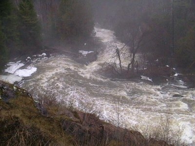
Photo
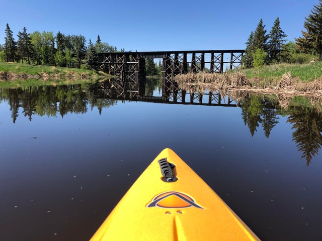
Photo courtesy of American Whitewater
Description
Upstream of our indicated put-in, it appears there may be one brief additional rapids. This may be accessible via a carry-up or via alternate access (logging roads off of Hupp Road or Foster City Road / 1 / 569), but may not be worth the extra bother and extra 1.0-1.75 miles (or more) of otherwise flat water paddling.
Location
Interactive river map
Loads as you approach this section.
Other Rapids on This Run (4)
View Full Run
Sturgeon Dam (0.3 - 2.0 miles)
Sturgeon (Menominee R. trib.)
III-IV
1.6 mi
Current Conditions
5-Day Forecast
Whitewater data from
American Whitewater
American Whitewater