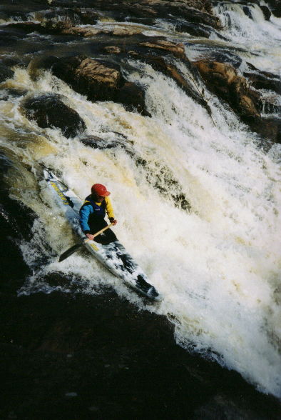
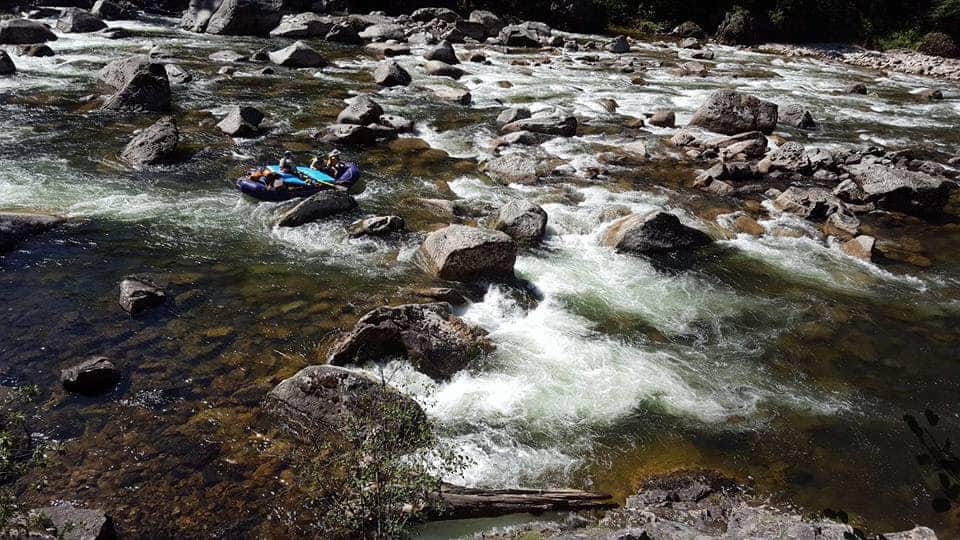
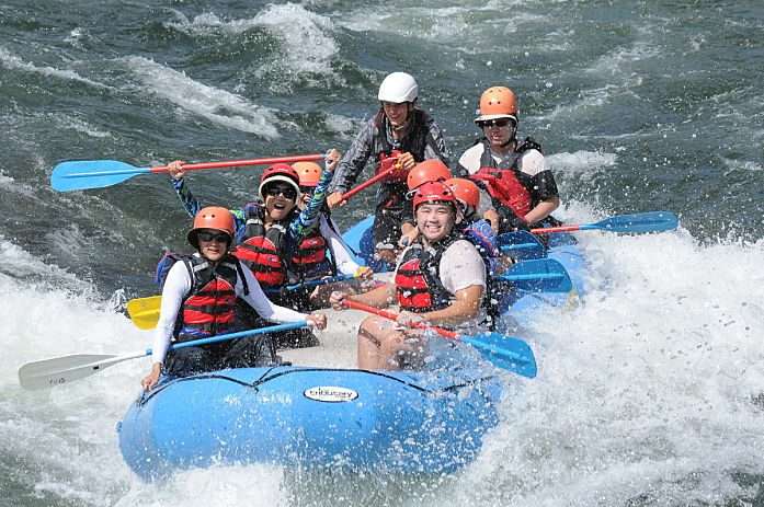
How's Your
River
×
Explore
Explore Map
Water Bodies
Gauges
Access Sites
Tidal Stations
Whitewater
Pricing
Login
Sign Up
Hazard Warning:
Hazard information may be user-submitted and unverified. Conditions change frequently. Always scout rapids and obstacles yourself.
Whitewater
Arkansas
Falling Water Creek - Falling Water Falls to Richland Campground (7 miles)
Richland Creek Campground
Rapid
AR
Richland Creek Campground
Falling Water Creek - Falling Water Falls to Richland Campground (7 miles) (AR)
Monitor this Rapid
Water Body
This Run
Map
Other Rapids
Gauge
Weather
Directions
Gauge Conditions
Richland Creek near Witts Spring, AR
Downstream
Primary
Runnable: 3.5 – 6.0 FT
Data from
American Whitewater
&
USGS
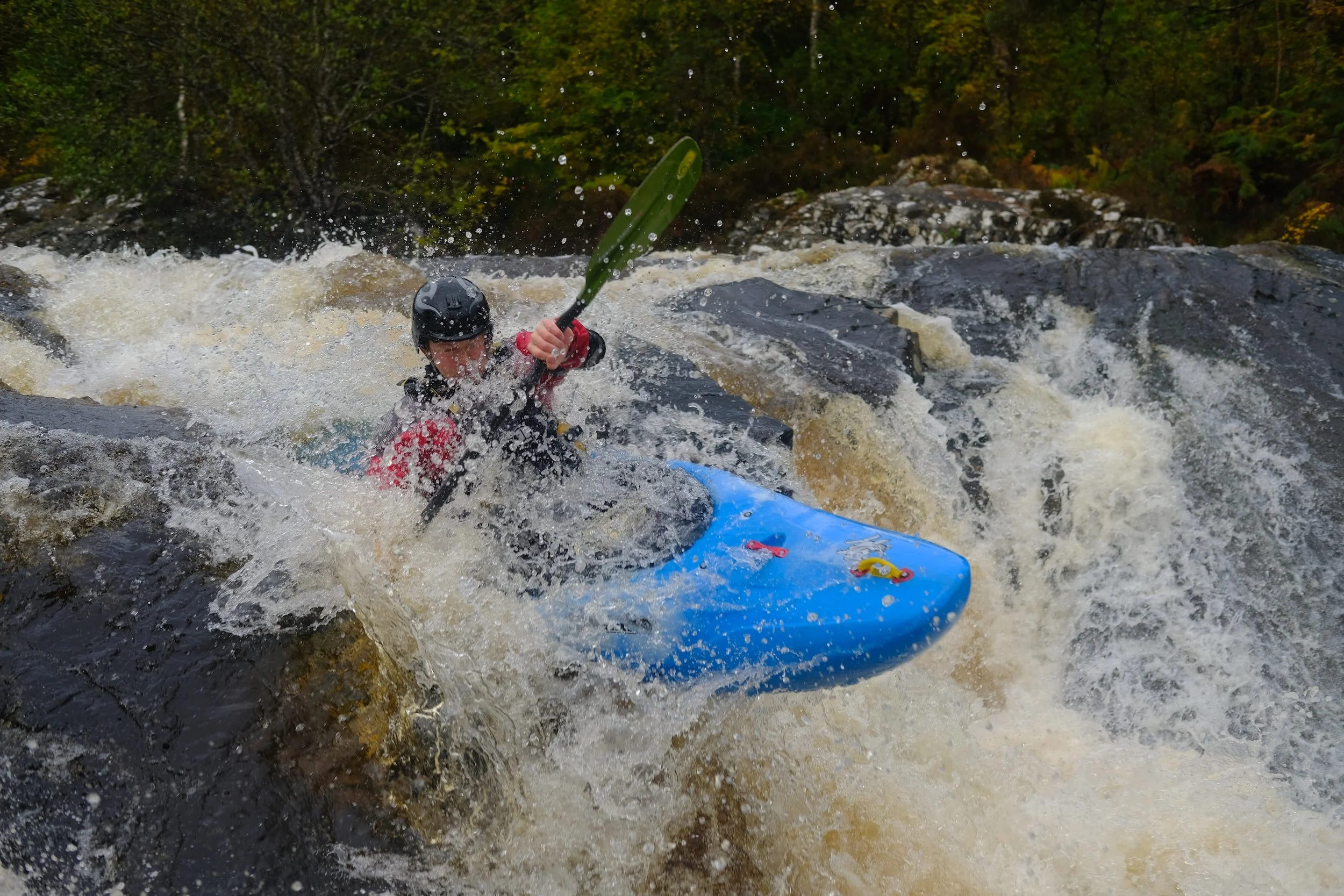
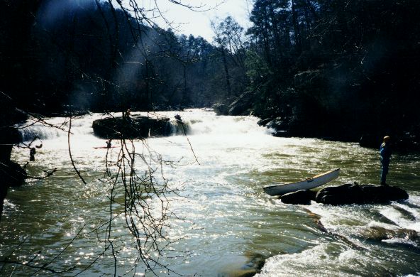
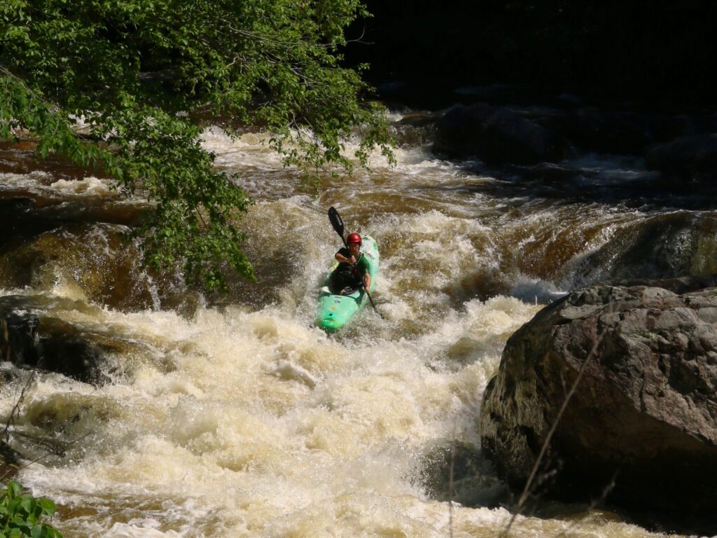
Photo
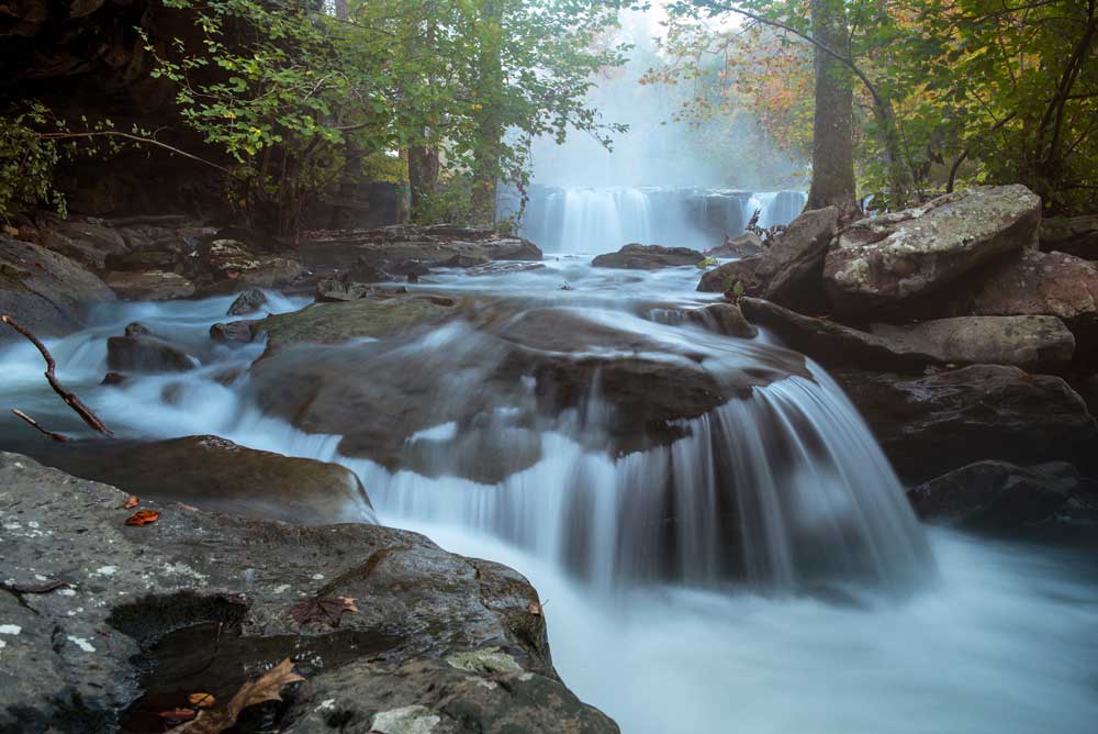
Photo courtesy of
American Whitewater
Description
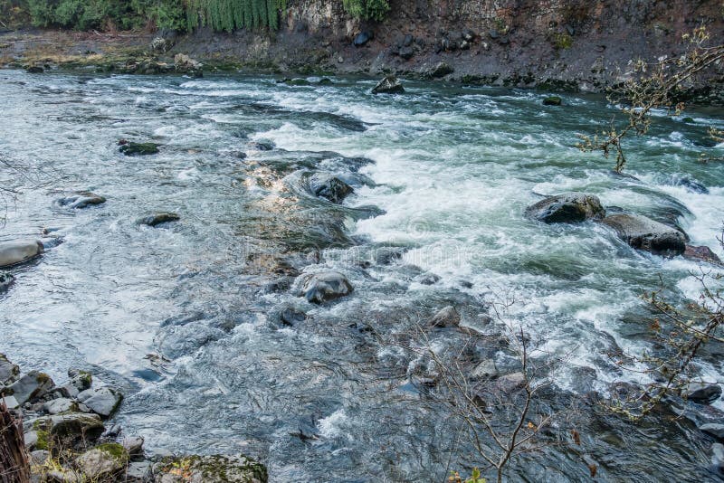
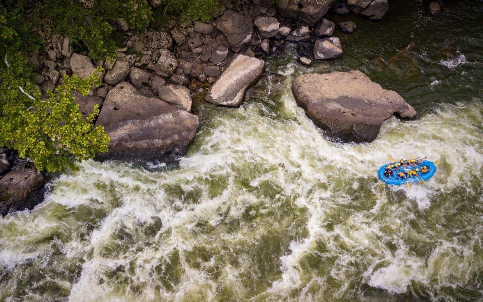
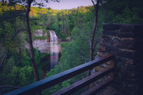
Confluence with Richland Creek at the campground. Take out here or continue through one more rapid to the campground bridge.
Location
Radar
Counties
Cell
Verizon
AT&T
T-Mobile
Dark
Satellite
Terrain
Other Rapids on This Run (12)
Rapid
Put-in
0.0 mi
Hazard
IV
Falls run-out
0.1 mi
Waterfall
III
Falling Water Falls
0.1 mi
Rapid
III
Upper Gorge
0.2 mi
Rapid
Bailey Cole Confluence
2.0 mi
Rapid
Low-water Bridge
3.0 mi
Playspot
III
Bedrock Gorge
3.1 mi
Waterfall
III
Six Finger Falls
3.8 mi
Rapid
Lower Campsite
4.6 mi
Rapid
III
Lower Gorge
4.6 mi
Rapid
III
The Grotto
6.2 mi
Rapid
Campground Bridge
7.0 mi
Type
Rapid
Mile Marker
6.8 mi
Directions
Navigate
View Full Run
Falling Water Falls to Richland Campground (7 miles)
Falling Water Creek
II-III+(IV)
7.2 mi
Current Conditions
5-Day Forecast
Whitewater data from
American Whitewater
Richland Creek Campground