Rapid
NC
River Exit and Start of Trail
Save this feature with the run it belongs to.
Gauge Conditions
Runnable: ? – ? CFS
Approximate - nearest available gauge. Use as general reference only.
Data from American Whitewater & USGS
Photo
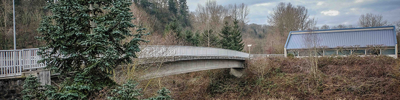
Photo courtesy of American Whitewater
Description
The trail up to the parking area starts just upstream of the confluence with the Hungry River on river left. It is a 0.7 mile hike up that ascends 300' in elevation on a well-built trail that passes through North Carolina Gamelands. It takes approximately 15-20 minutes to reach the parking area on Gallimore Road.
Location
Interactive river map
Loads as you approach this section.
Other Rapids on This Run (12)
 Rapid
N/A
Rapid
N/A
Tuxedo Hydro Plant Put-In
 Rapid
II+
Rapid
II+
Saluda Stuffer
 Waterfall
III+
Waterfall
III+
Bayless Boof
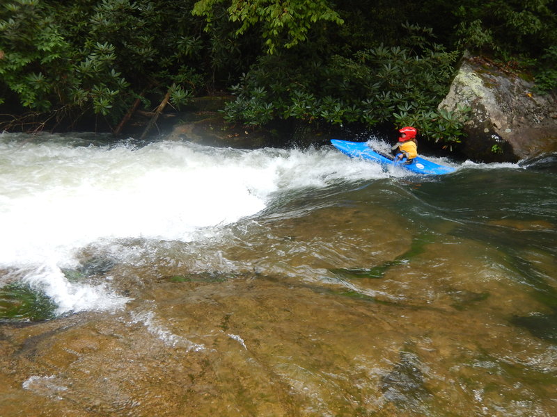 Rapid
III
Rapid
III
Wanda's Hole aka Witches
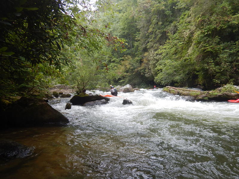 Rapid
III
Rapid
III
Z Turn / Devils Elbow
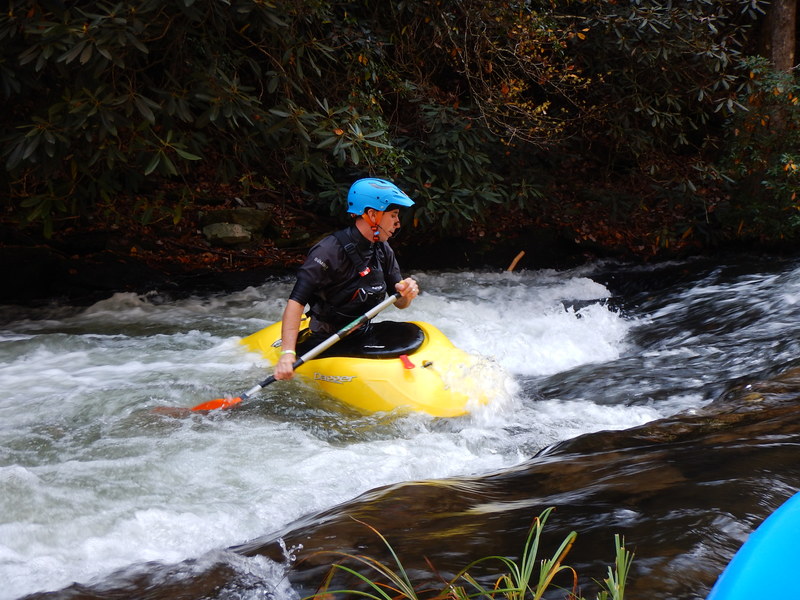 Rapid
II
Rapid
II
360 Hole & Safety Meeting
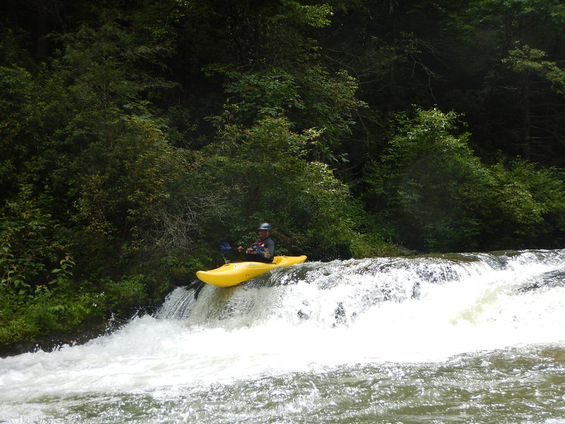 Rapid
II
Rapid
II
No Name Ledge
 Rapid
N/A
Rapid
N/A
Interstate Highway 26 Bridge
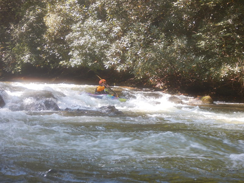 Rapid
II
Rapid
II
Class 2 above Pinball
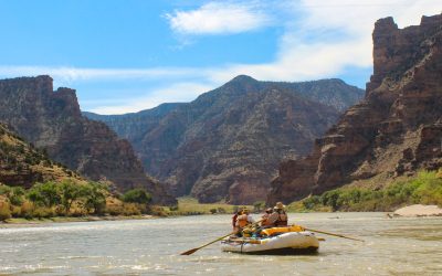 Rapid
III+
Rapid
III+
Pinball
 Rapid
II
Rapid
II
Takeout Rapid & Wave
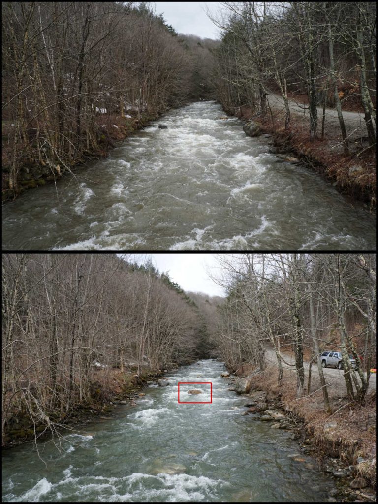 Rapid
N/A
Rapid
N/A
Gallimore Road Take Out-Parking
View Full Run
1. Upper, Tuxedo Powerplant to trail above Hungry Creek
Green
II-III+
3.8 mi
Current Conditions
5-Day Forecast
Whitewater data from
American Whitewater
American Whitewater