Rapid
WI
Rocky Carry Rapids
Save this feature with the run it belongs to.
Gauge Conditions
Runnable: 500.0 – 4,000.0 CFS
(Likely ~0.5*gauge reading) Low, possibly boatable? Help your fellow boaters by adding a comment if you have experience with this run at these levels!
Data from American Whitewater & USGS
Photo
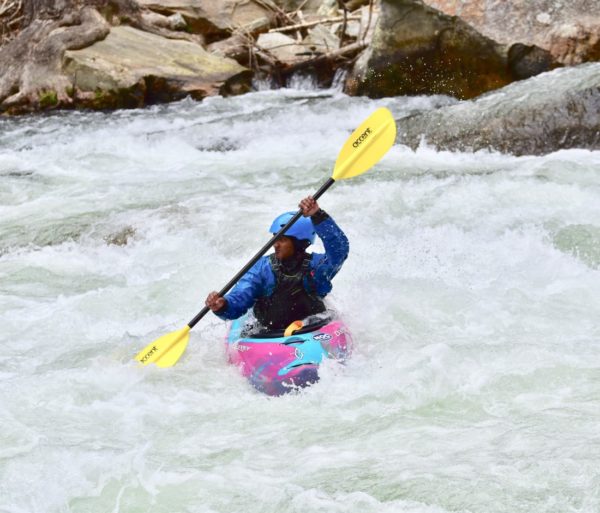
Photo courtesy of American Whitewater
Description
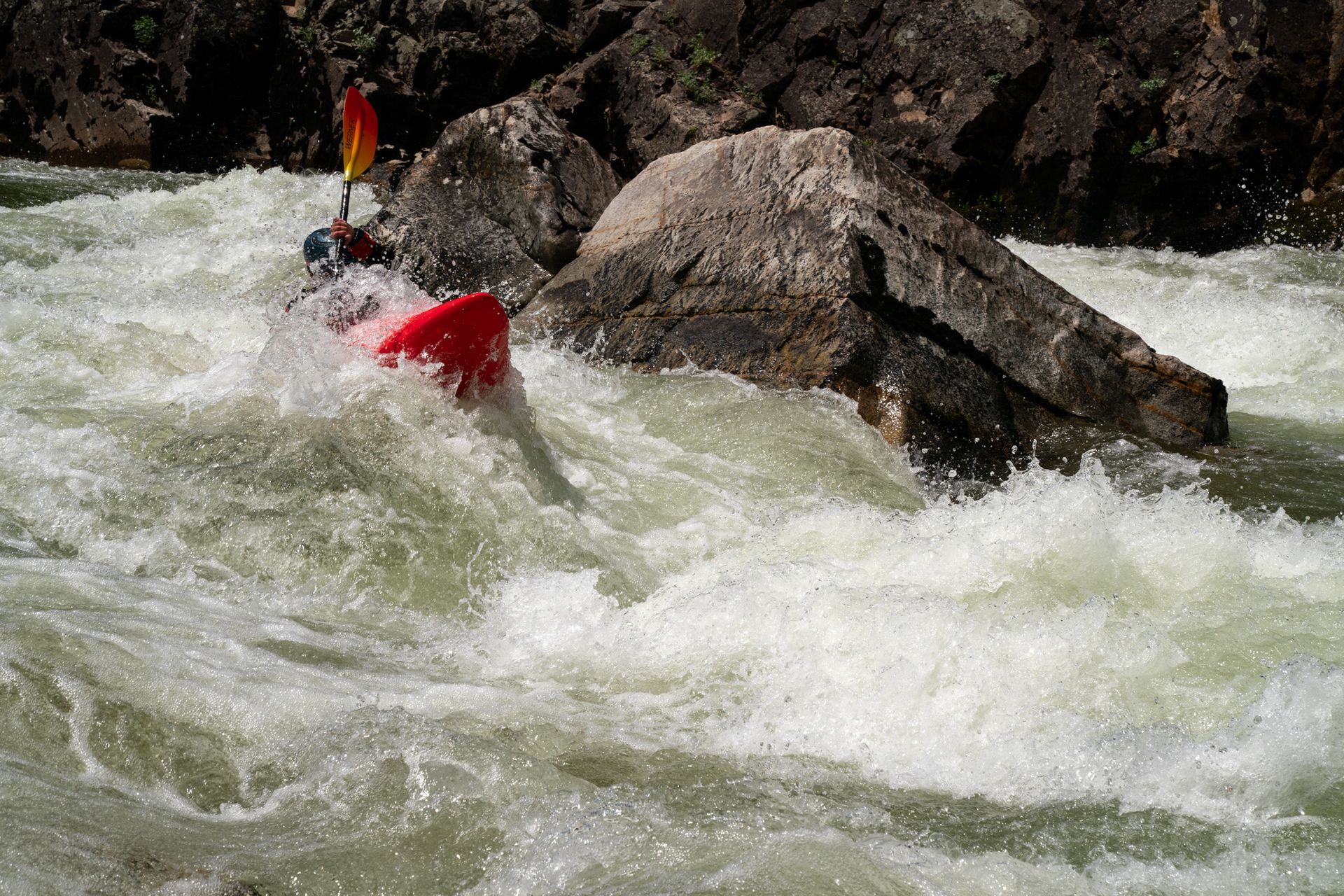
Rocky Carry Rapids presents a technical passage through a boulder-strewn channel, requiring precise maneuvering between mid-stream rocks and potential pin hazards. Paddlers should be prepared to navigate a series of tight slots and potential hydraulics, with the most direct line typically favoring the left-center of the rapid at moderate water levels.
Location
Interactive river map
Loads as you approach this section.

View Full Run
C) Simon Rd Landing to CTH.F (7.75 miles)
Flambeau, S.Fk.
I-II
7.7 mi
Current Conditions
5-Day Forecast
Whitewater data from
American Whitewater
American Whitewater