S-turn
Save this feature with the run it belongs to.
Gauge Conditions
Runnable: 6.0 – 15.0 FT
A bit boney, but enjoyable.
Data from American Whitewater & USGS
Photo
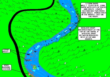
Photo courtesy of American Whitewater
Description
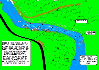
River takes a sharp right then drops through a long series of twisting channels, holes, and other goodies. River right at the top of the rapid has a nice 4' to 6' verticle drop between boulders at levels above 8.6'. The last two ledges on the river should be run from center (first ledge) to right (last ledge) to avoid stickey holes. Last ledge has a stickey trashy playspot on the left.
Location
Interactive river map
Loads as you approach this section.
Other Rapids on This Run (5)
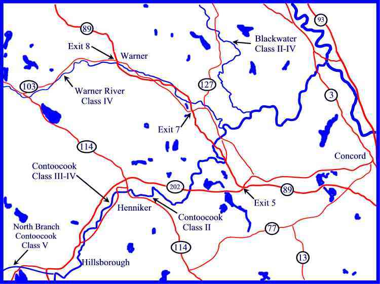
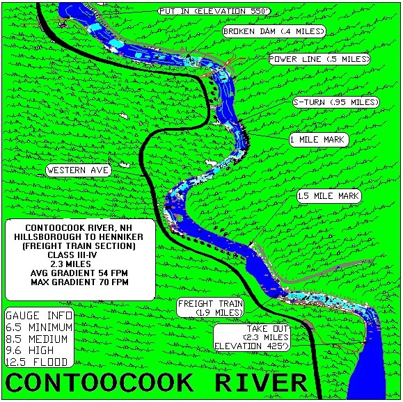
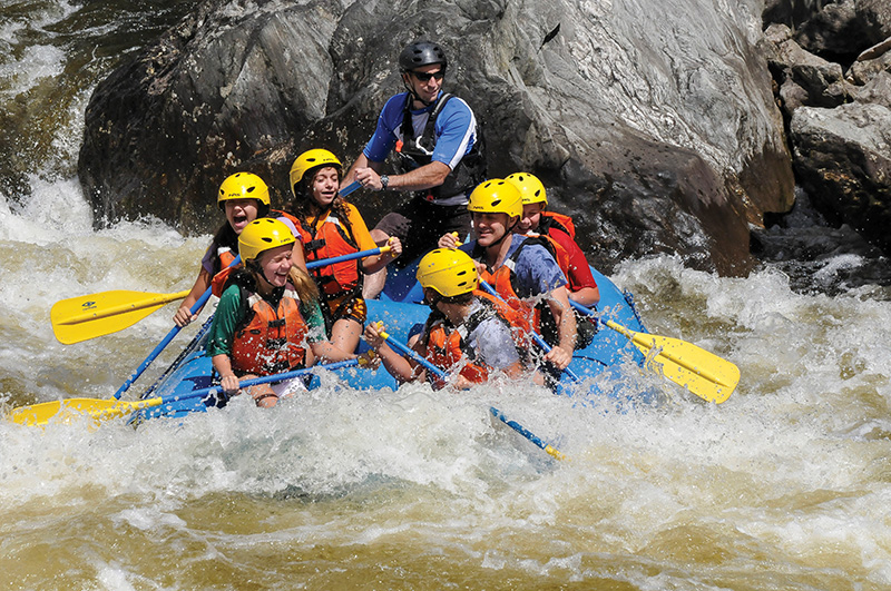
View Full Run
2. Hillsborough to Henniker
Contoocook
III-IV
3.0 mi
Current Conditions
5-Day Forecast
Whitewater data from
American Whitewater
American Whitewater