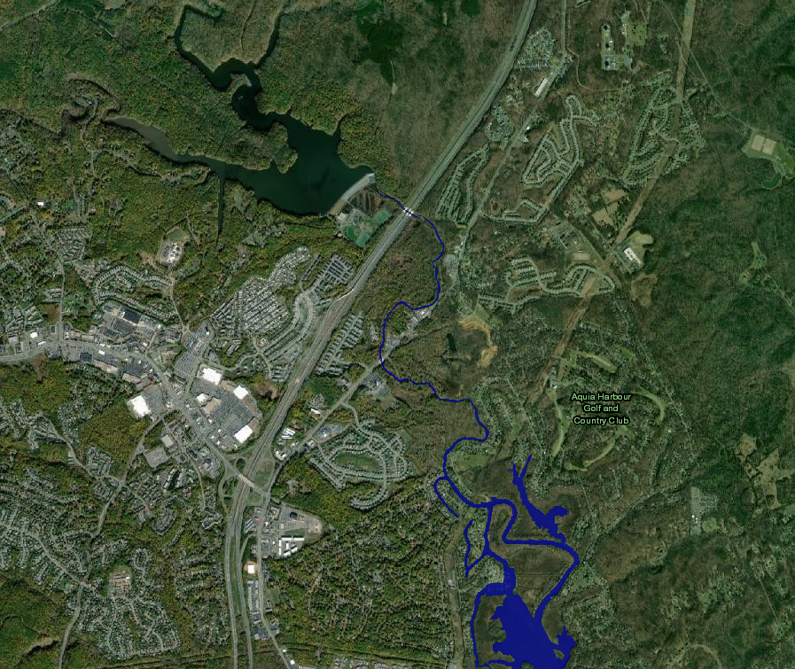
"S-Turn"
Save this feature with the run it belongs to.
Gauge Conditions
Approximate - nearest available gauge. Use as general reference only.
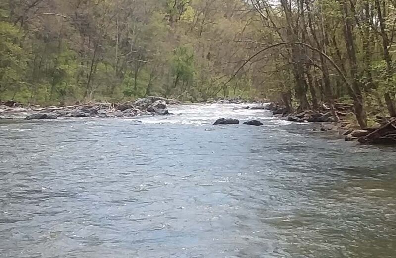
Photo
Description
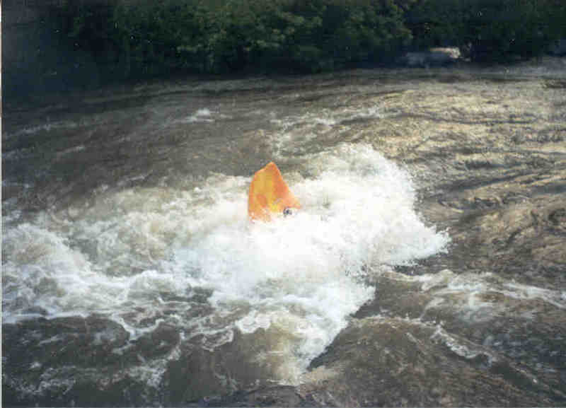
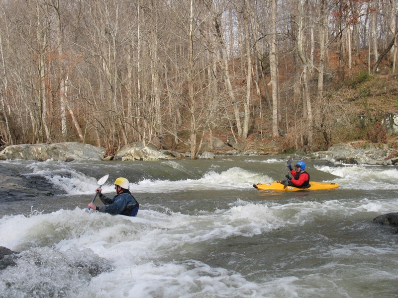
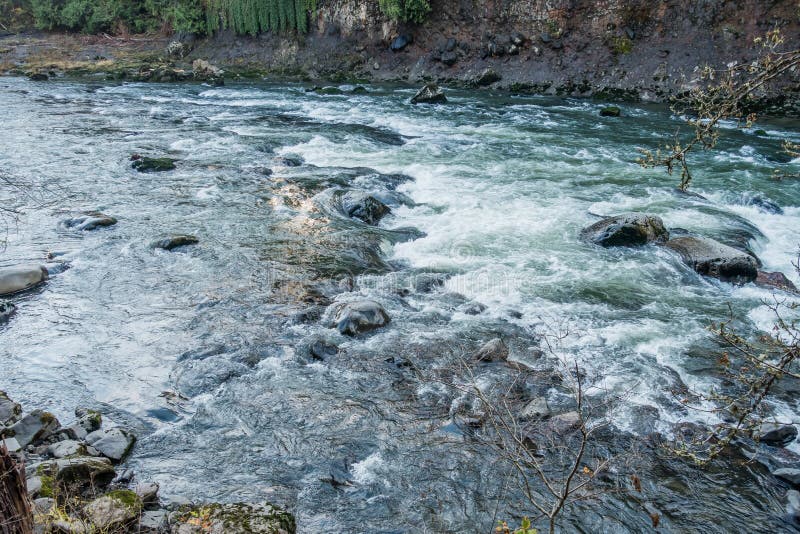
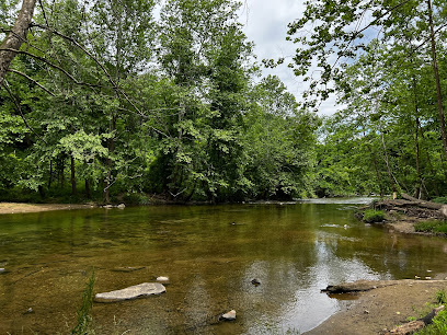
"S-Turn" (Mile 3.02) This rapid is the last rapid on the river. The rapid was formed by a long gone Dam that left a rocky delta on river right that pushes the river to the left and a large rock just downstream on river left that pushes the river to the right . The result is as soon as it begins, there's a hard turn to the right against the large rock and then a turn left (down river) again to the runout. At the top at lower water there is a nice surfing hole with good eddy access. At the bottom on river right there is a nice crisp eddy line for doing stern squirts. The inside corner of the last turn at lower water usually allows an “elevator” move to go back up to the top of the rapid. Sometimes it can be a play wave or hole at higher water. You can also hike down the railroad track from Jones Road if you want park and play.
Location
Other Rapids on This Run (10)


Current Conditions
5-Day Forecast
American Whitewater